Unknown Artist Assets (3858 in total)
Results
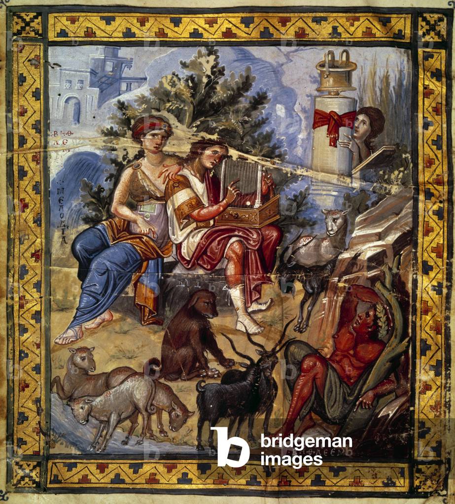
JLJ4688542: King David (ca. 1000 to 972 BC) playing lyre, 11th century (miniature), Unknown Artist / Bridgeman Images
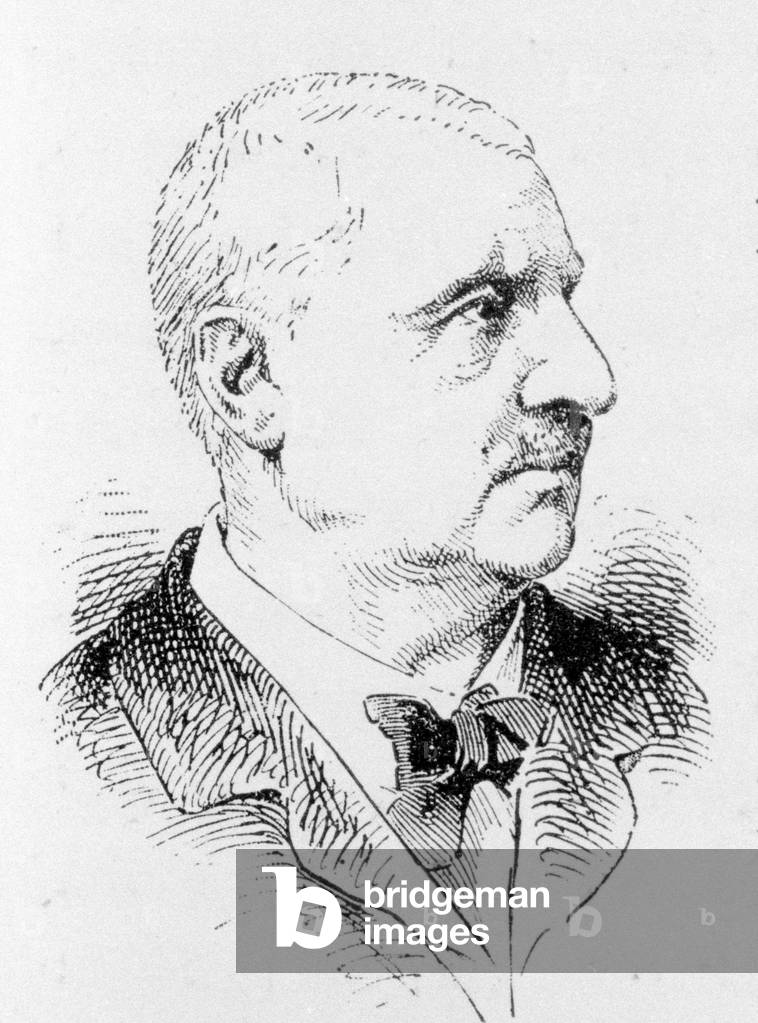
GIA4740065: Portrait of Anton Bruckner (1824 - 1896), Austrian composer., Unknown Artist / Bridgeman Images
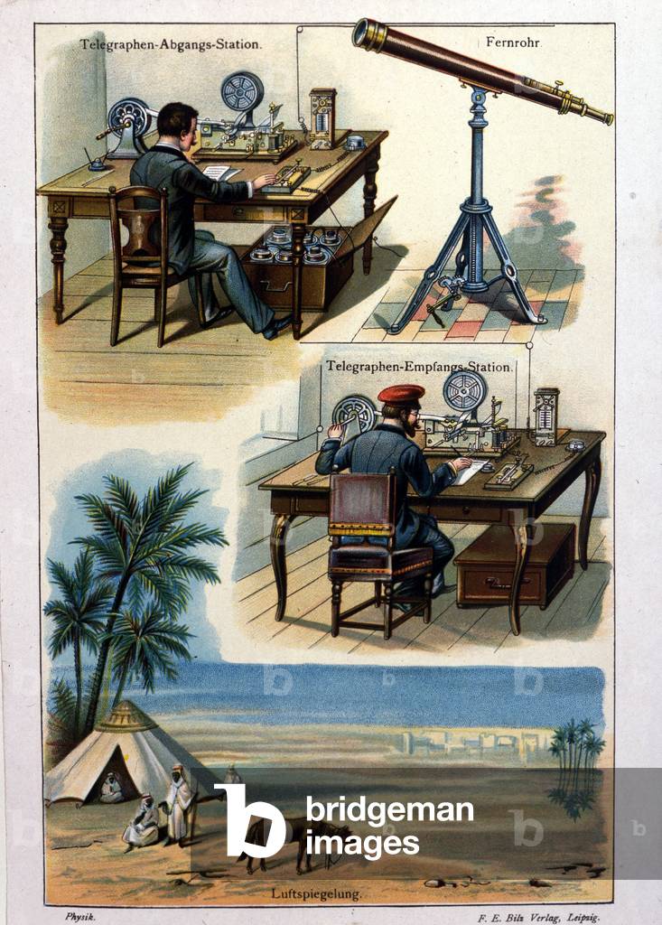
GIA4742080: Table representing the telegraph sending office and the receiving office., Unknown Artist / Bridgeman Images

GIA4750163: Ignatius of Loyola and Saint Francois Xavier, protectors of the City and Conté of Bologna., Unknown Artist / Bridgeman Images

GIA4717604: Portrait of Lord George Anson (1697-1762) - For the Royal Navy, he carried out attack raids on Spanish ships in the Pacific between 1740 and 1744, then victorious at the Battle of Finistere (1747) against the French and contributed to the British victory in the 7-year war (1756-63), Unknown Artist / Bridgeman Images

ICA4842297: Cover of Les Hommes d'aujourd'hui, number 304,, illustration by Zed: Chien, Adam Paul (1862-1920), Unknown Artist / Bridgeman Images
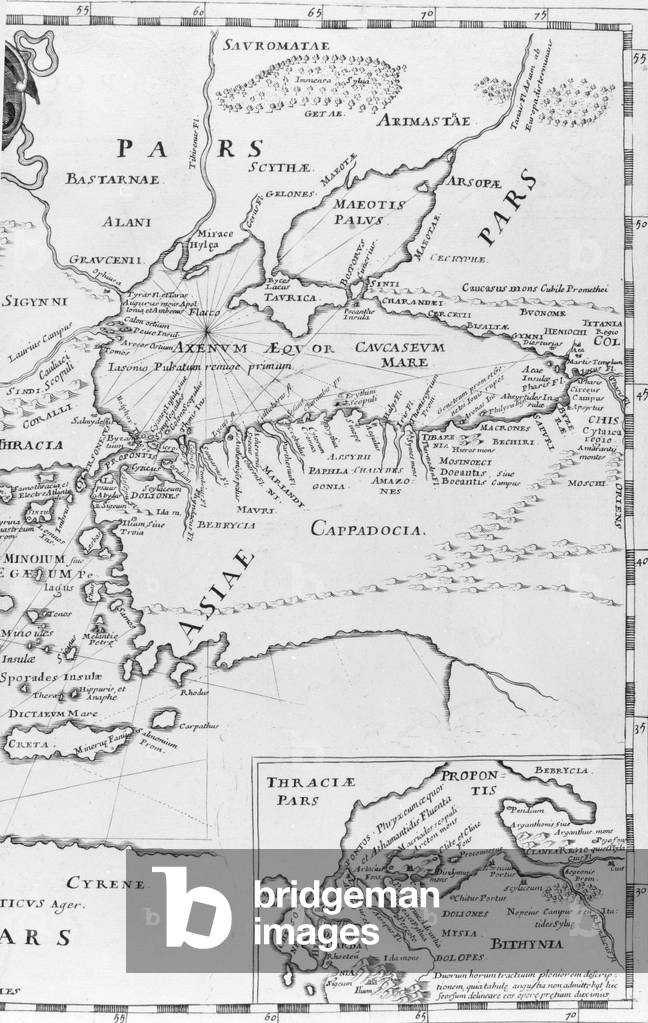

GIA4818213: Portrait of Jean Baptiste Lully (Giovanni Battista Lulli) (1632-1687), born in Florence and died in Paris in March 1687, aged 54. Engraving., Unknown Artist / Bridgeman Images

GIA4735817: Portrait of Gregory XV (1554 - 1621). Anonymous painting. Rome, Church of S. Mary of Victory., Unknown Artist / Bridgeman Images


GIA4732412: Frontispice of the libretto Europa riconosciuta written by Antonio Salieri (1750 - 1825) for the inauguration of the theatre of La Scala (then called Regio Ducal teatro) in August 1778., Unknown Artist / Bridgeman Images
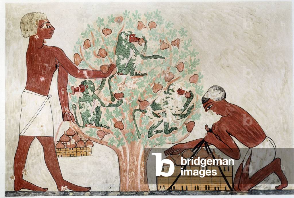
JLJ4674301: Art Egypt: picking figs. Simile College from the tomb of Beni Hasan (11th and 12th dynasty) (illustration), Unknown Artist / Bridgeman Images

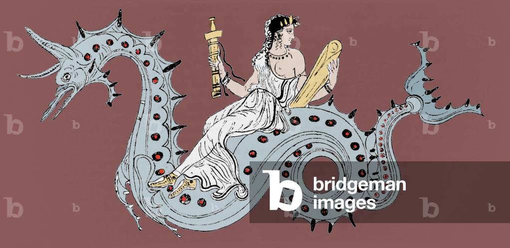
JLJ4672671: Mythology: a siren and a griffon, fabulous creatures (fresco), Unknown Artist / Bridgeman Images

KWE3033741: People of the Andaman and Nicobar Islands, south east Asia, worshipping at a pagoda. From Customs of The World, published c.1913., Unknown Artist / Bridgeman Images

KWE3033763: A sea battle between pirate junks and the Imperial Chinese navy during the 19th century. From Hutchinson's History of the Nations, published 1915., Unknown Artist / Bridgeman Images

KWE2913553: Richard Brinsley Butler Sheridan, 1751 1816. Irish playwright, poet and long-term owner of the London Theatre Royal, Drury Lane, London, England. After the Pastel by John Russell, 1788. From Impressions of English Literature, published 1944., Unknown Artist / Bridgeman Images


KWE2913949: The Library of Trinity College, Dublin, Ireland c.1750. After the engraving by Robert Sayer. From Impressions of English Literature, published 1944., Unknown Artist / Bridgeman Images
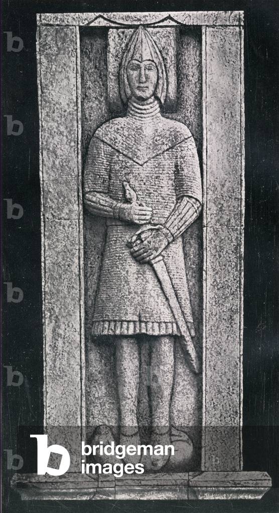
KWE2919891: The Burke Effigy, Glinsk, County Galway Ireland Burke family tradition believed that the effigy was a likeness of William (conquerer) DeBurgh - the first DeBurge (Burke) to set foot in Ireland., Unknown Artist / Bridgeman Images

KWE3052626: Valley of Sichem and Nablous from Mount Gerizim, Palestine, engraved by J.C. Bentley after W.H. Bartlett, Unknown Artist / Bridgeman Images

KWE3052715: Rev Robert Smith Candlish, 1806-1873. Scottish preacher, Unknown Artist / Bridgeman Images

KWE3052744: Henri de Lorraine, Duc de Guise 1550-1588. From an engraving by Le Blond, Unknown Artist / Bridgeman Images

KWE3052868: George H. Thomas 1816 to 1870. Union general during American Civil War. From photograph by Matthew Brady, Unknown Artist / Bridgeman Images
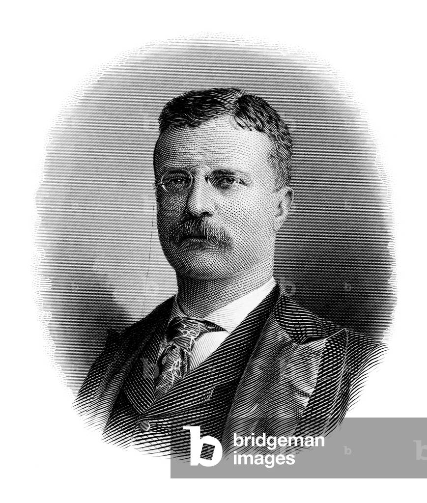


KWE3052959: Marie Joseph Louis Adolphe Thiers, 1797-1877. French statesman, journalist and historian. Engraved by S. Freeman., Unknown Artist / Bridgeman Images


GIA4772904: The Universe enclosed in the tabernacle of Moses after Cosme Indicopleuste, cartographer and Bysantine mystic geographer of the 6th century., Unknown Artist / Bridgeman Images
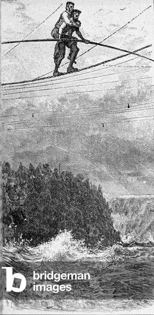

GIA4753800: Perceval, hero of 'The Grail tale or the novel of Perceval' by Chretien de Troyes. 1181., Unknown Artist / Bridgeman Images

GIA4756894: The warrior Tokugawa Ieyasu after the victory of Sekigahara on October 20, 1600 pronounces the famous phrase: After victory, tighten the strips of your helmet - This battle was decisive for the history of Japan, it completed unification, Unknown Artist / Bridgeman Images
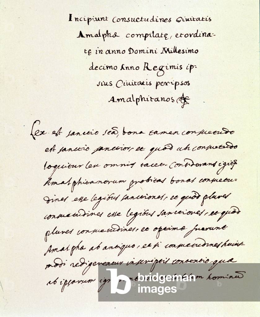
GIA4739176: Manuscript page taken from the Amalfi Plates (Consuetudini amalfitane) of 1010. The city of Amalfi is the oldest of the Italian Maritime Republics: it is the origin of the Code of Maritime Law adopted in the Mediterranean countries under the name “Customs”. Copy of the manuscript of the Biblioteca Trivulziana of Milan., Unknown Artist / Bridgeman Images

GIA4741523: Reproduction of a naval battle between the Egyptians and the peoples of the seas carved on the exterior façade of Medinet Habou's palace near Thebes. Egypt., Unknown Artist / Bridgeman Images