Unknown Artist Assets (3858 in total)
Results

XEE4154689: Portrait of Johann Georg Sulzer, professor of Mathematics and philosopher, 1720-1779 (engraving), Unknown Artist / Bridgeman Images

XEE4166832: Political and social cartoon during the Second Empire, 1860 (engraving), Unknown Artist / Bridgeman Images

XEE4156602: The Duke Francois de La Rochefoucauld, the Marquise Madame de Sevigne and the Countess de La Fayette, 1876 (engraving), Unknown Artist / Bridgeman Images
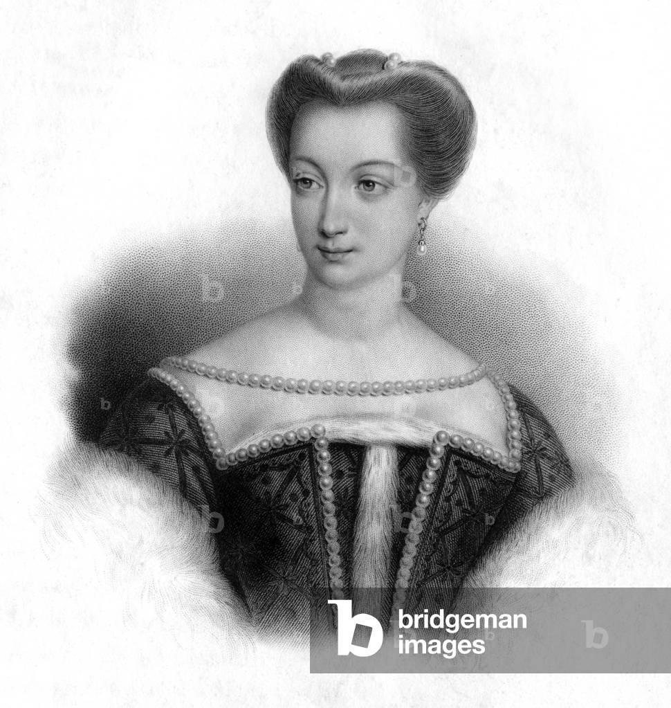
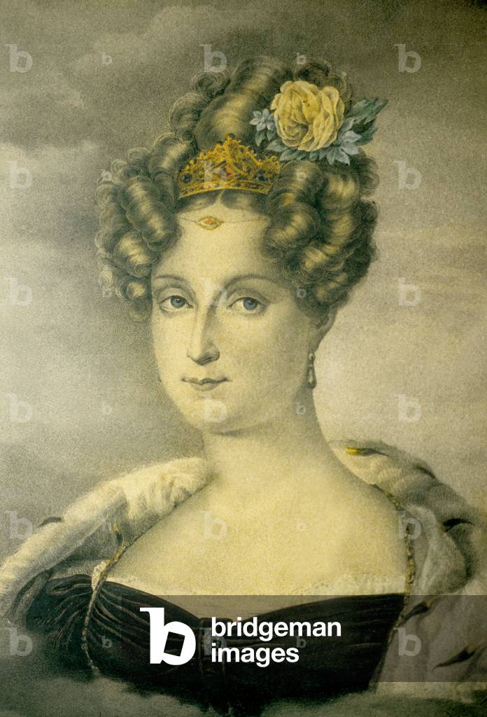
XRH1733753: Princess Louise-Marie of Orleans (1812-1850) 2nd wife of King of Belgium Leopold1st, engraving, Unknown Artist / Bridgeman Images
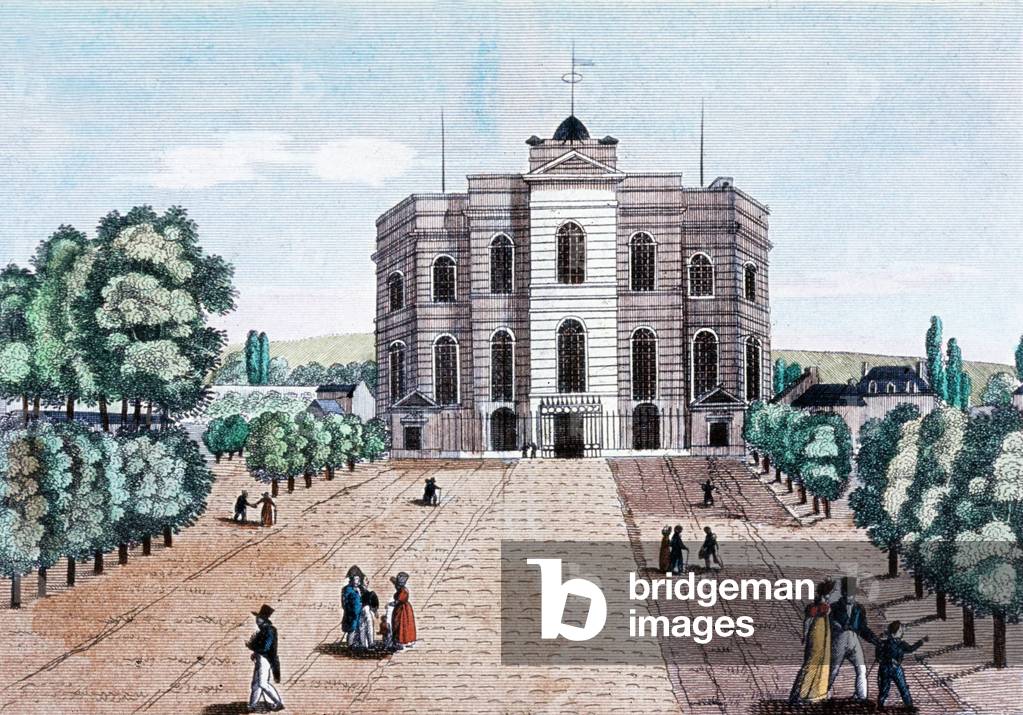
XRH1733890: The observatory of Paris, built in 1667 by Claude Perrault, engraving, c. 1800, Unknown Artist / Bridgeman Images
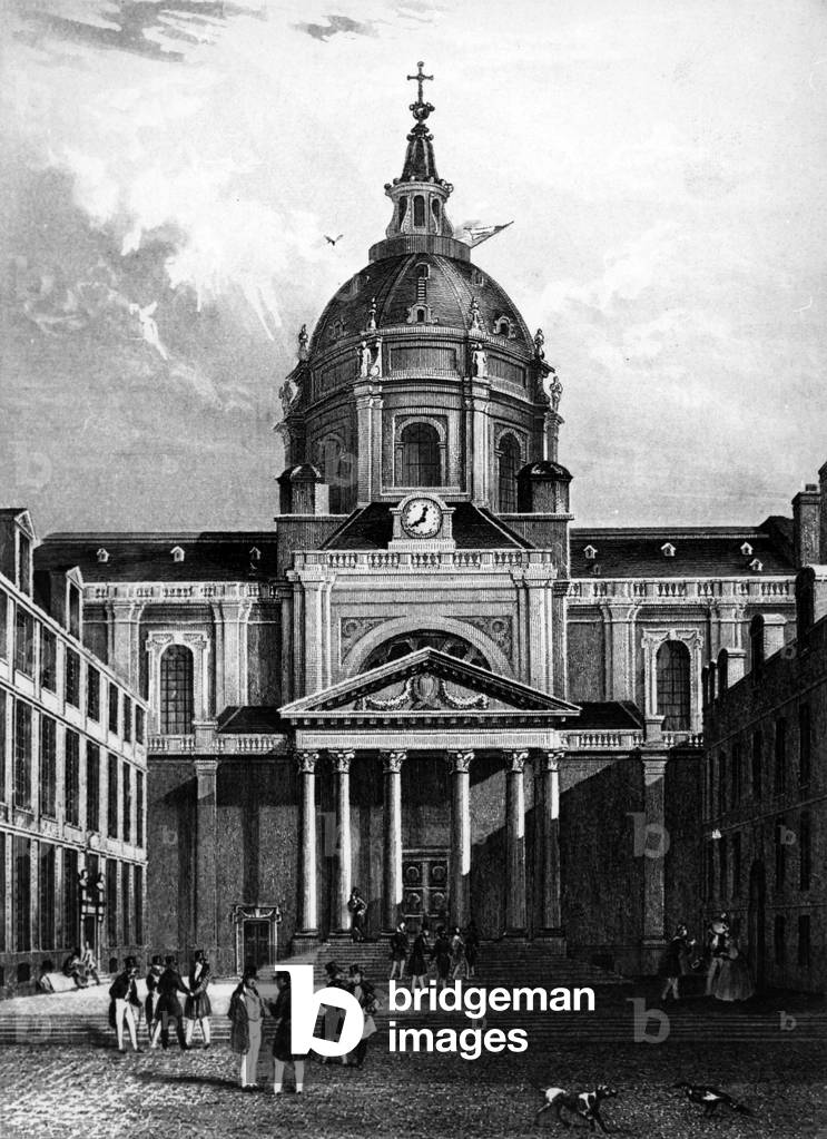
XRH1736742: The Sorbonne courtyard with the chapel (built in 17th century), engraving, c. 1840, Unknown Artist / Bridgeman Images
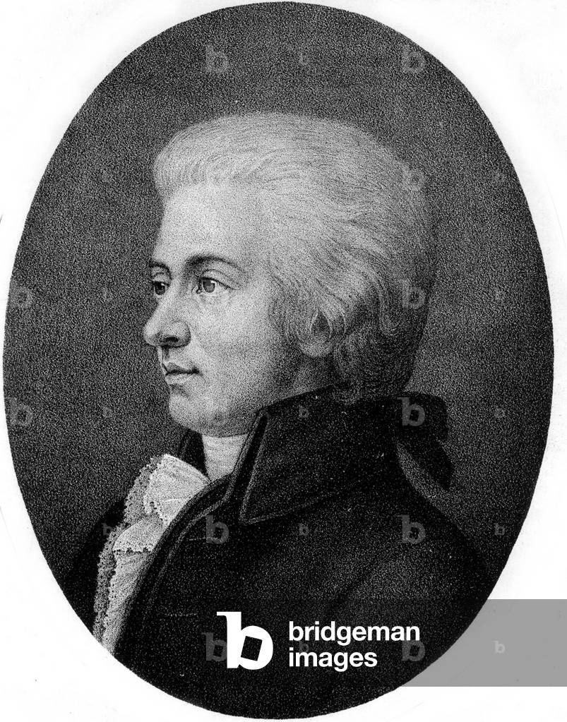
XRH1705742: Wolfgang Amadeus Mozart (1756 - 1791) Austrian composer of German origin, engraving, Unknown Artist / Bridgeman Images
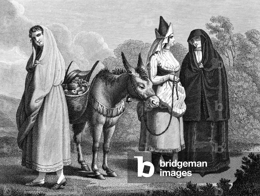
XRH1721564: A peasant from Alentejo, fruiterer from Lisbon and a woman from Beira, Portugal, 1797, engraving, Unknown Artist / Bridgeman Images
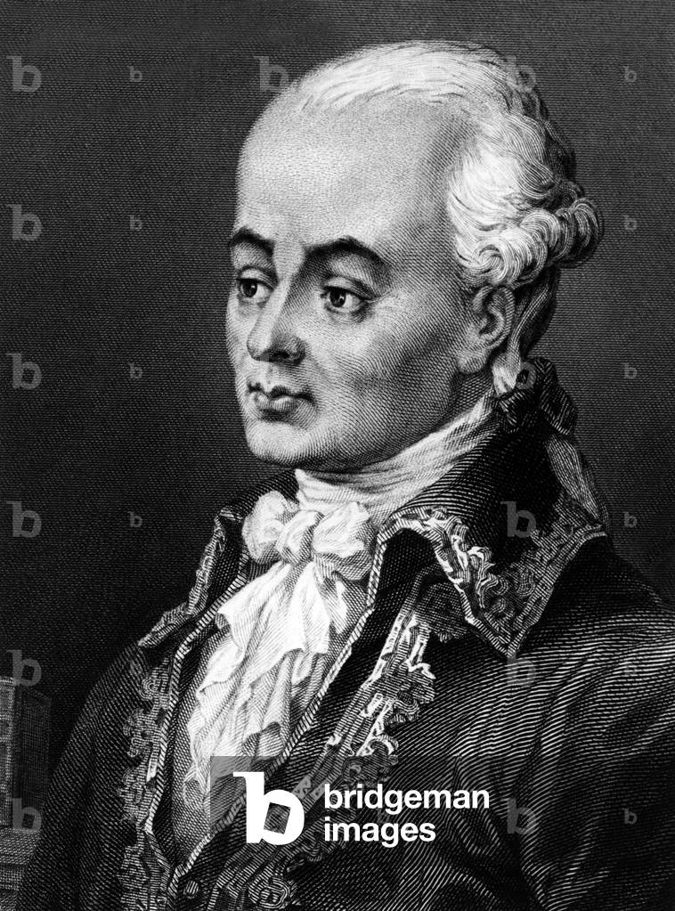
XRH1732402: Luc de Clapiers, marquis de Vauvenargues (1715-1747) French soldier, writer, moralist, engraving, Unknown Artist / Bridgeman Images
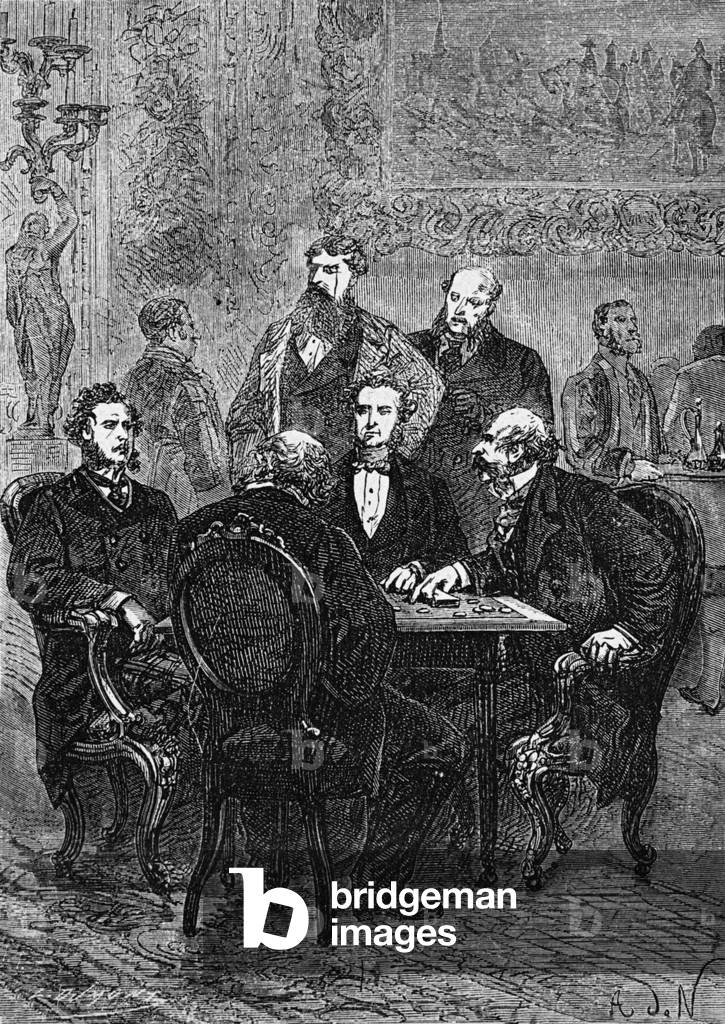
XRH1734756: The bet of Phileas Fogg, engraving illustrating novel by Jules Verne "Le tour du monde en 80 jours" (1873), Unknown Artist / Bridgeman Images
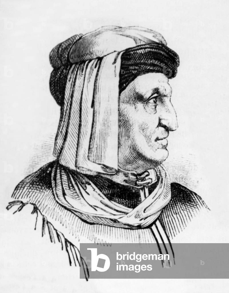
XRH1735230: Luca della Robbia (1400-1481) Italian sculptor and ceramist, engraving, Unknown Artist / Bridgeman Images

XEE4191952: Portrait of Andrea Mantegna, Italian painter, from "The Galleries of Europe - Italy" by Armengaud, 1859 (engraving), Unknown Artist / Bridgeman Images

GIA4799127: Representation of an Italian treasurer responsible for finances and counts. On his desk coins, a book of accounts and a purse. Engraving after a 15th century manuscript, Unknown Artist / Bridgeman Images
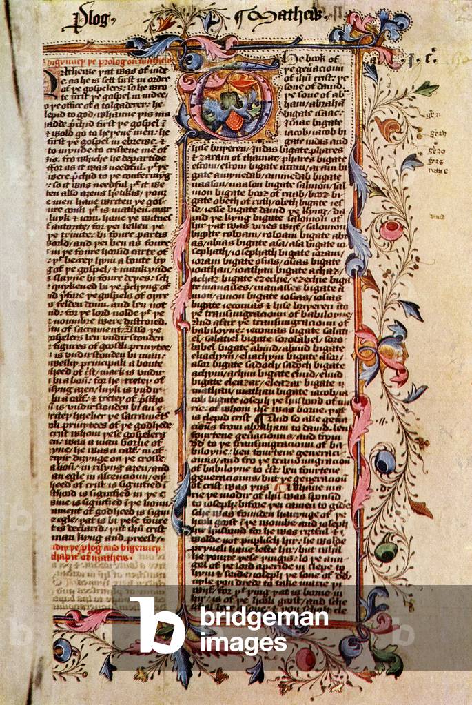
KWE2907813: First page of St. Matthew's Gospel, after a 15th century illuminated MS of the Wyclife Bible. From Impressions of English Literature, published 1944., Unknown Artist / Bridgeman Images


XEE4154260: Departure of Christopher Columbus and his companions from the port of Palos in Spain, August 3, 1492 (engraving), Unknown Artist / Bridgeman Images
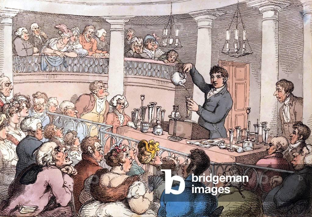
PVD1682896: Friedrich Christian Accum conducting an experiment in the lecture theater of the Surry (engraving), Unknown Artist / Bridgeman Images
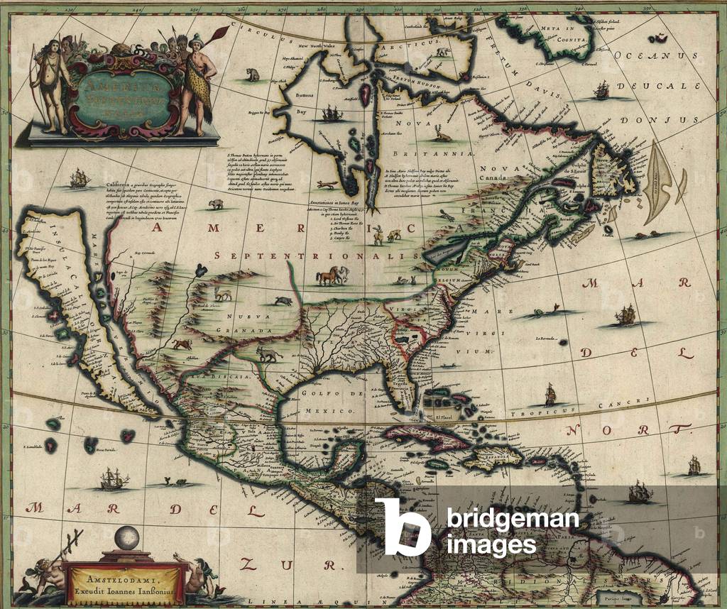
EVB2931895: North American map created in 1652 showing California as an island. Spanish possessions in Mexico, Central and South America are well defined, while most of the interior North is still unknown territory, Unknown Artist / Bridgeman Images
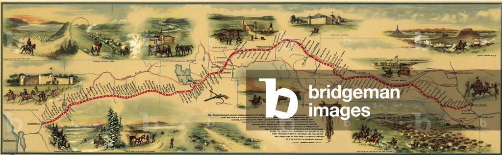
EVB2931939: Pony express route April 1860 - October 1861 was a system of mail delivery horse and rider relays between St. Joseph, Missouri, and Sacramento, California, a distance of 1,800 miles that took 10 days. It was unprofitable and quickly replaced by the transcontinental telegraph system, Unknown Artist / Bridgeman Images
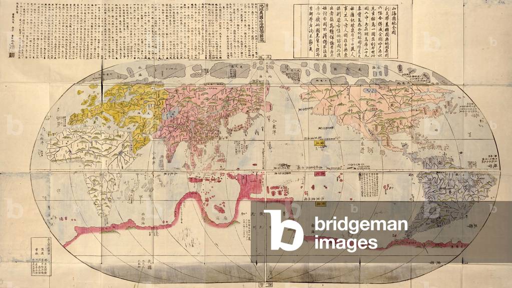
EVB2931978: 1785 Japanese world map based on Jesuit missionary, Matteo Ricci's 1602 maps, and made during Japan's Age of National Isolation (1636-1854). Map shows continents and oceans of the world at about 1600 and is indicative of the effect of Japan's isolation from world events, Unknown Artist / Bridgeman Images
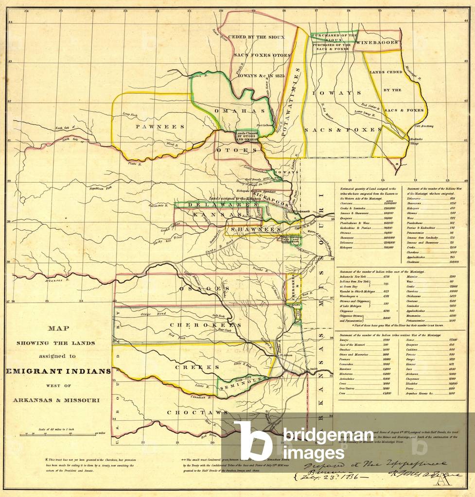
EVB2931896: 1836 Map showing the Indian Territories (now Oklahoma) assigned to displaced Eastern Indians tribes; Cherokees, Creeks, Choctaws, Osages, and Seminoles, Unknown Artist / Bridgeman Images
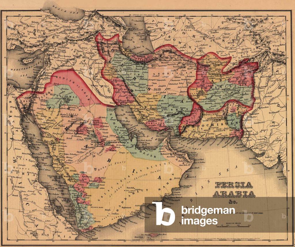
EVB2931813: 1855 map clearly shows the political and cultural geography of the Middle East. The Ottoman and Persian Empires boundary lies to the east of Mesopotamia, present day Iraq; Arabia, in the desert before the discovery of oil, is south of the wealthier empires, Unknown Artist / Bridgeman Images
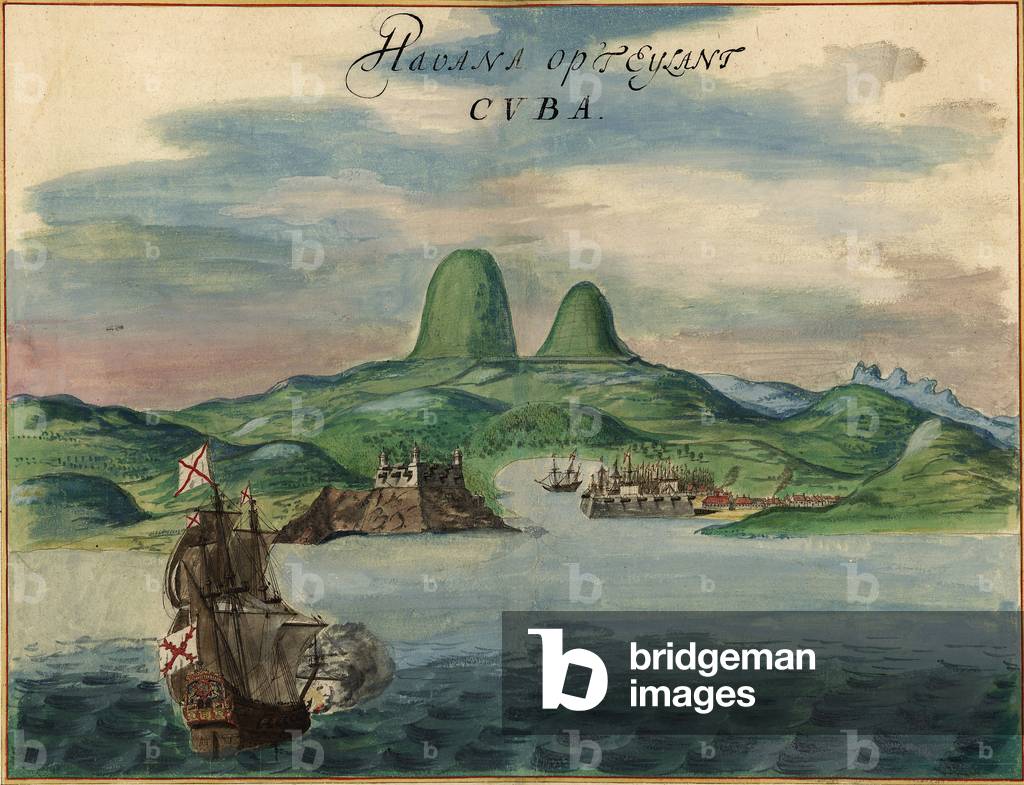
EVB2931915: View of Havana, Cuba in 1639, including buildings, ships, and fortifications, Unknown Artist / Bridgeman Images
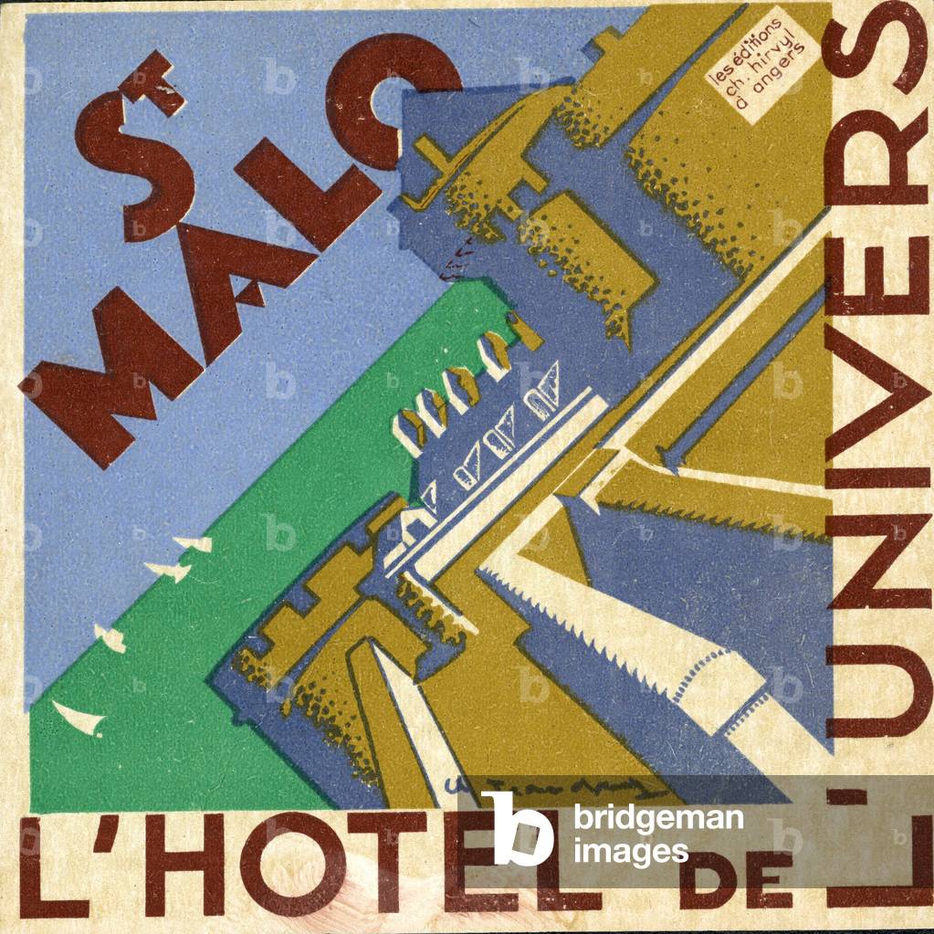
GEG2729583: luggage tag Hotel de l univers in Saint Malo France around 1930, Unknown Artist / Bridgeman Images
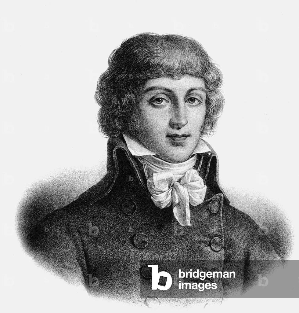
XRA1673334: Portrait of Saint Just - Convention's deputy, 1792 (engraving), Unknown Artist / Bridgeman Images
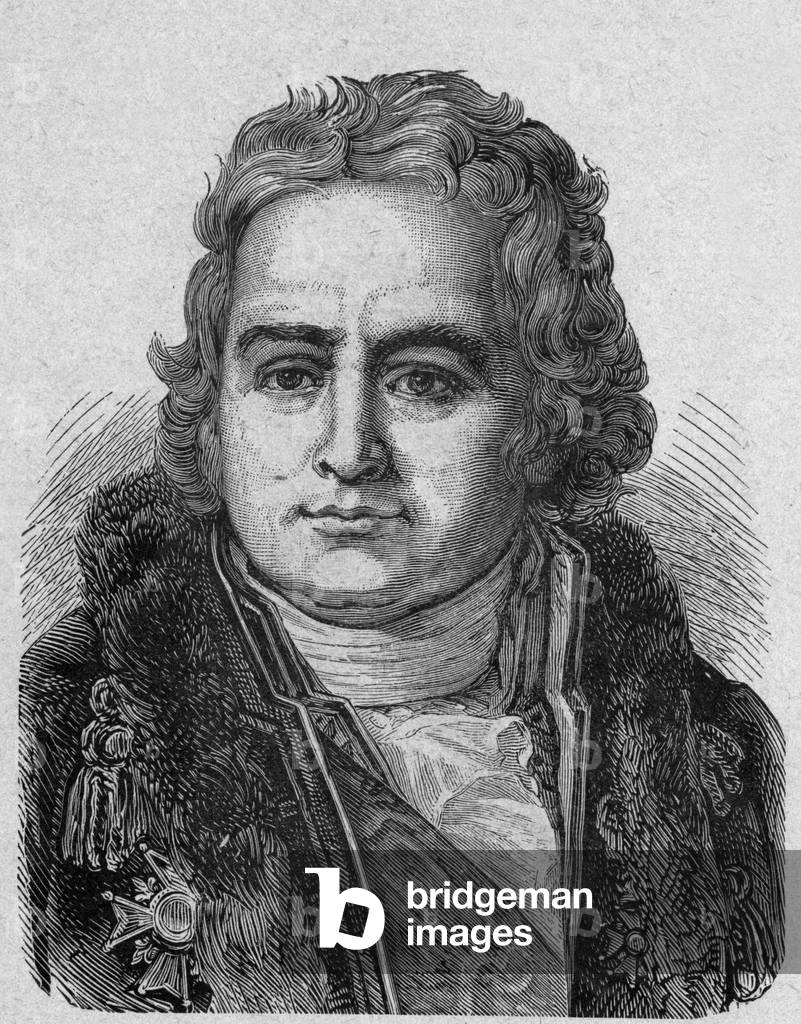
PVD1689169: Jean Antoine Chaptal, count of Chanteloup (1756-1832) french chemist (chaptalization) and politician, engraving, Unknown Artist / Bridgeman Images
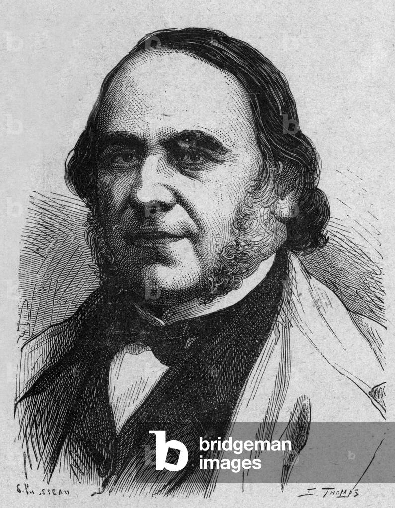
PVD1689370: Jacques Marie Cyprien Victor Coste (1807-1873) french naturalist, engraving, Unknown Artist / Bridgeman Images
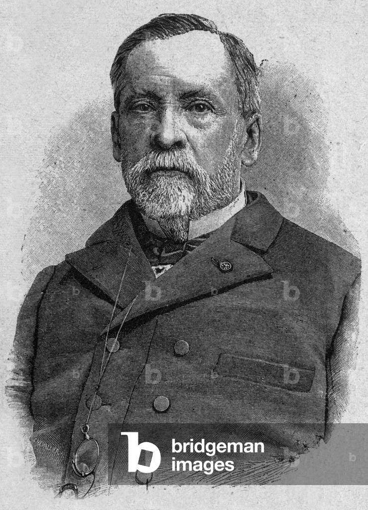
PVD1689227: Louis Pasteur (1822-1895) french scientist (vaccine for rabies), engraving, Unknown Artist / Bridgeman Images
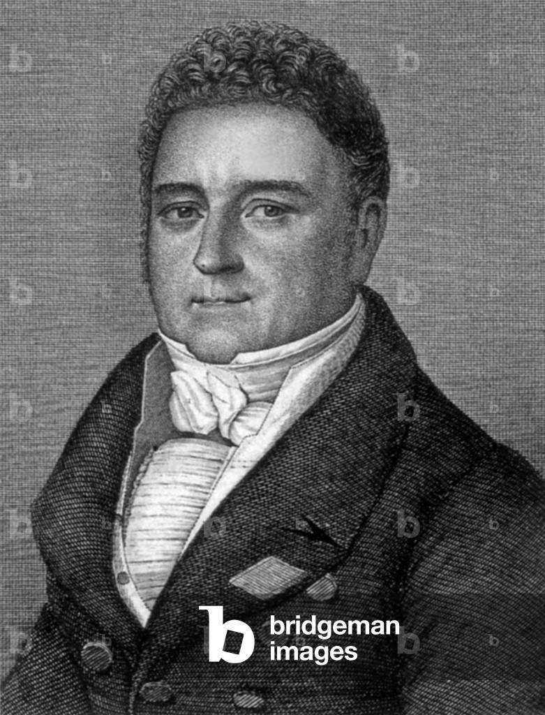

XLA3753375: 'Tableux de platte peinture des deux Philostrates', 1637 (engraving), Unknown Artist / Bridgeman Images


XEE4413574: Illustration for Donkey Skin, tale by Charles Perrault. When the king promised the deceased queen that she would marry only with a princess who would surpass her in grace and beauty, he proposed to marry his own daughter. To avoid this marriage, the king's daughter, under the guidance of her fairy, asks for different dresses color of time., Unknown Artist / Bridgeman Images
