Unknown Artist Assets (3858 in total)
Results
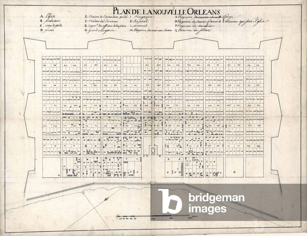
EVB2931851: 1722 plan of New Orleans, the Area that became the "French Quarter.", Unknown Artist / Bridgeman Images
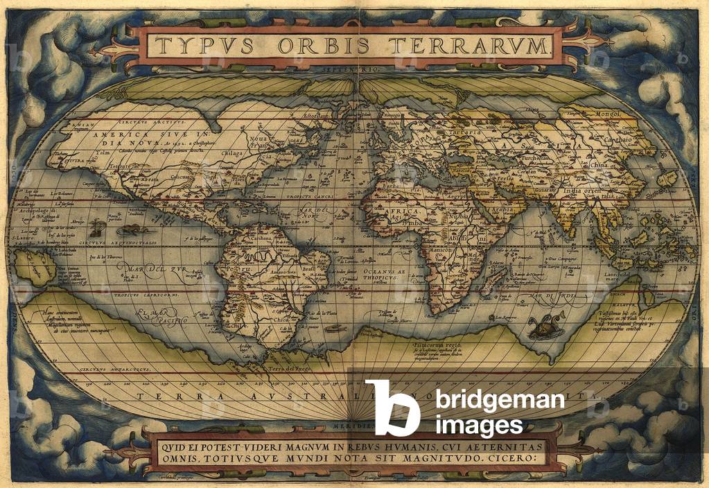
EVB2931891: 1570 map of the World. Australia is depicted as a large south polar continent. From Abraham Ortelius' atlas, "Theatrvm orbis terrarvm.", Unknown Artist / Bridgeman Images
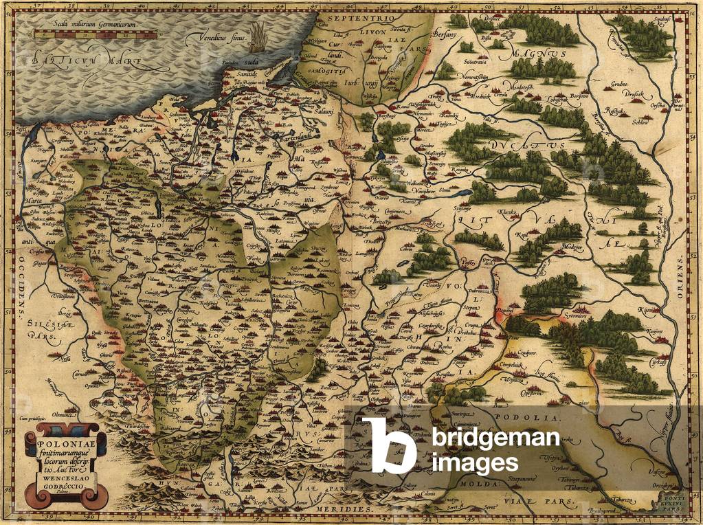
EVB2931960: 1570 map of Poland. Poland's political boundaries have changed dramatically over time. This map shows a small, landlocked Poland. From Abraham Ortelius' altas, "Theatrvm orbis terrarvm.", Unknown Artist / Bridgeman Images


XLA3768863: Moses striking the rock and water coming from it Exodus (engraving), Unknown Artist / Bridgeman Images

XLA3768857: Bible - Moses and the burning bush God appears to Moses from a burning bush., Unknown Artist / Bridgeman Images

XLA3768886: Bible, Esther saving her people by telling Ahaseuerus that Haman was planning to kill her (engraving), Unknown Artist / Bridgeman Images
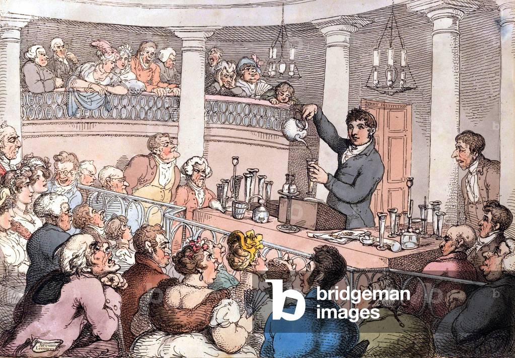
PVD1682896: Friedrich Christian Accum conducting an experiment in the lecture theater of the Surry (engraving), Unknown Artist / Bridgeman Images
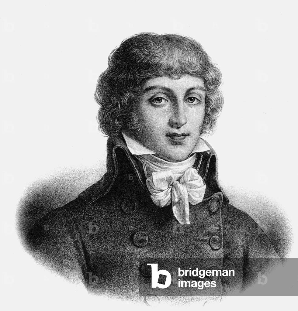
XRA1673334: Portrait of Saint Just - Convention's deputy, 1792 (engraving), Unknown Artist / Bridgeman Images
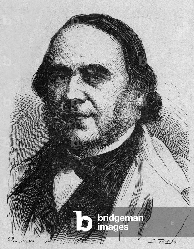
PVD1689370: Jacques Marie Cyprien Victor Coste (1807-1873) french naturalist, engraving, Unknown Artist / Bridgeman Images
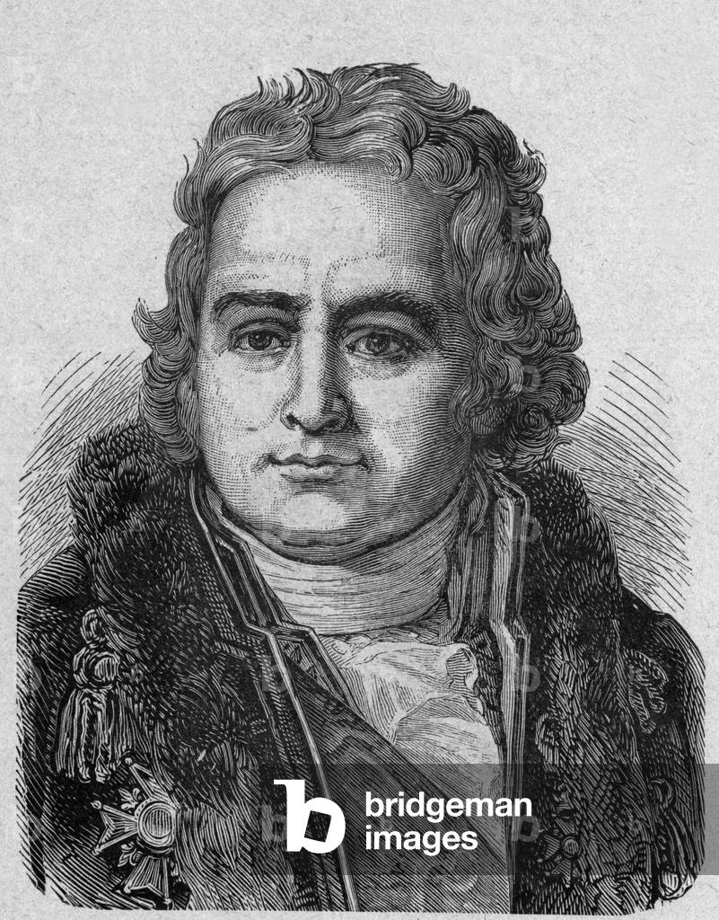
PVD1689169: Jean Antoine Chaptal, count of Chanteloup (1756-1832) french chemist (chaptalization) and politician, engraving, Unknown Artist / Bridgeman Images
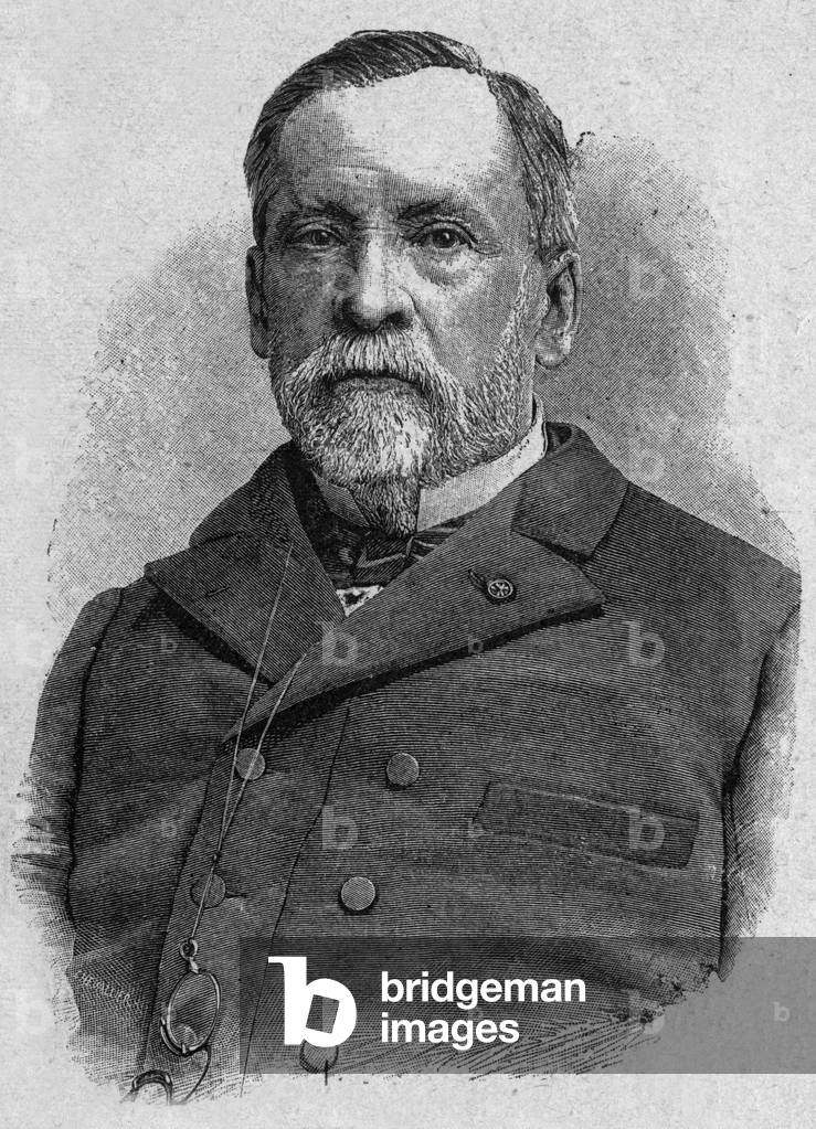
PVD1689227: Louis Pasteur (1822-1895) french scientist (vaccine for rabies), engraving, Unknown Artist / Bridgeman Images
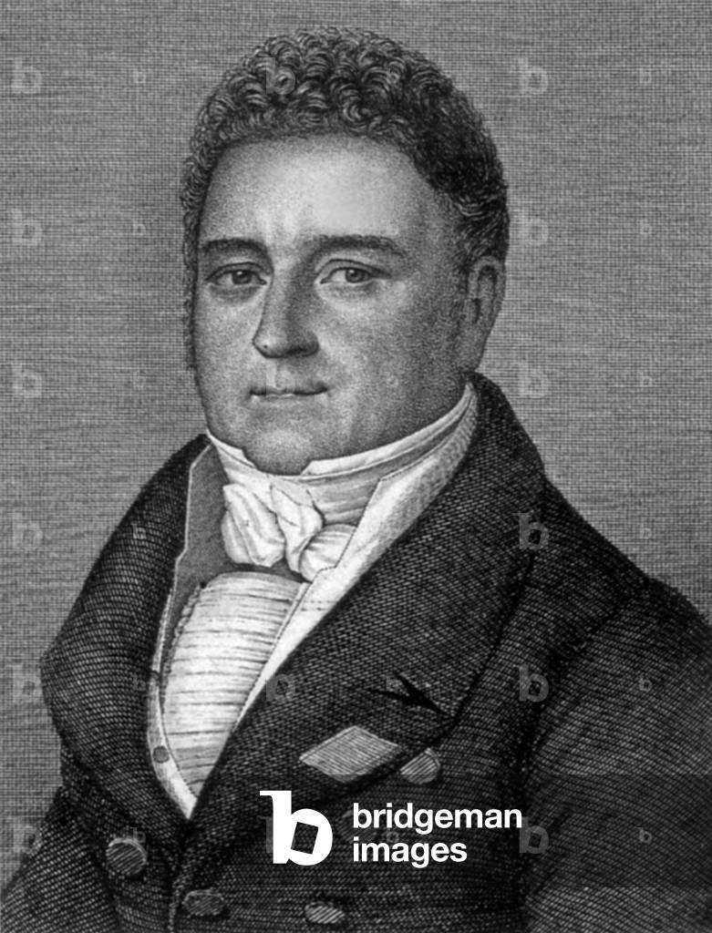

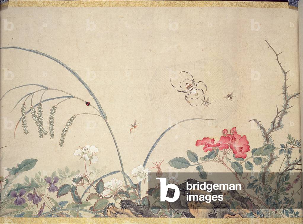

LSE4088225: Francois 1st young man, on his throne, in ceremonial dress, Unknown Artist / Bridgeman Images

WOR49034: "Wishing You a Merry Time at Christmas", Christmas card, Unknown Artist / Bridgeman Images
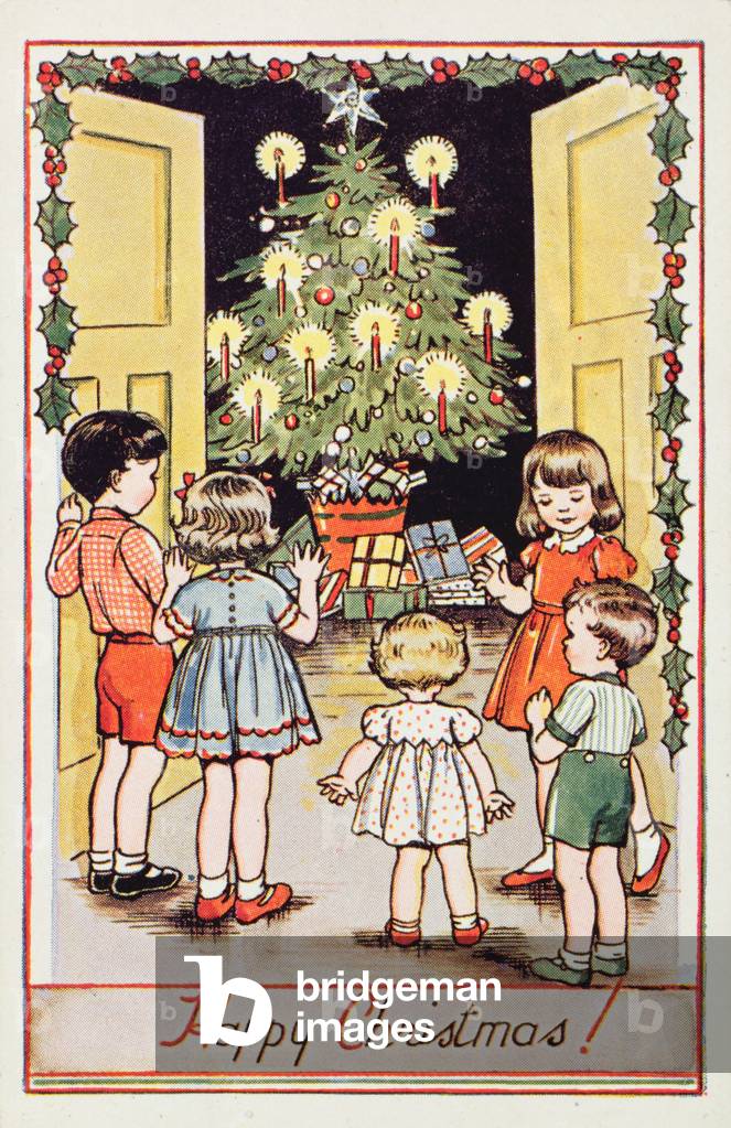


BAL129762: Bartholeme de Las Casas (1474-1566) (engraving) (see also 116891), Unknown Artist / Bridgeman Images

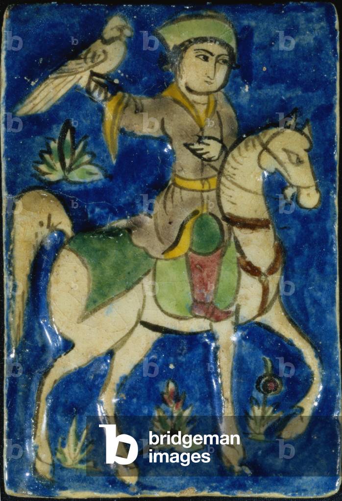
SMK120088: Hunter with a Hawk, Syrian (polychrome tile) (see also 120087), Unknown Artist / Bridgeman Images

CCC95538: MS CCC 385 f.235r The Battle of Gibeon, from a collection of biblical extracts, French, very early 16th century (parchment), Unknown Artist / Bridgeman Images

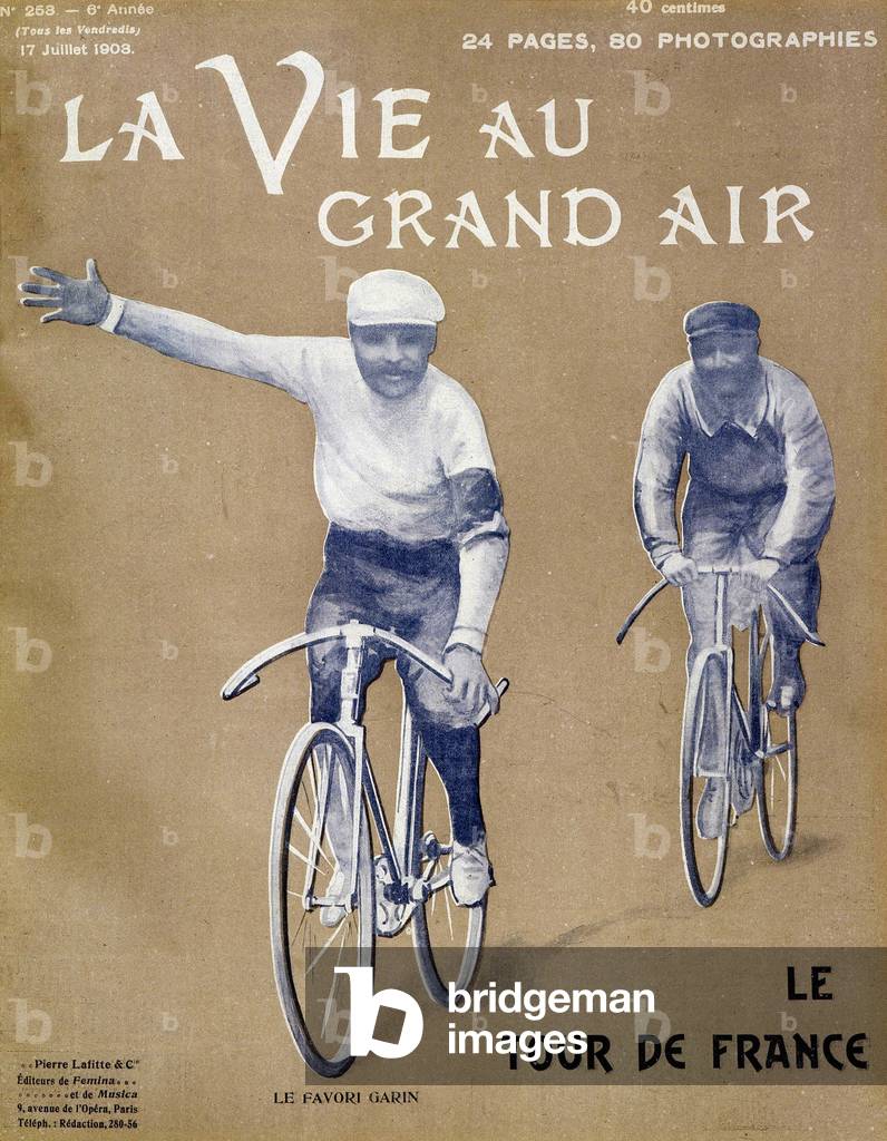
LSE4077840: Garin, the favorite of the Tour de France - in "La Vie au Grand Air" from 17/07/1903, Unknown Artist / Bridgeman Images
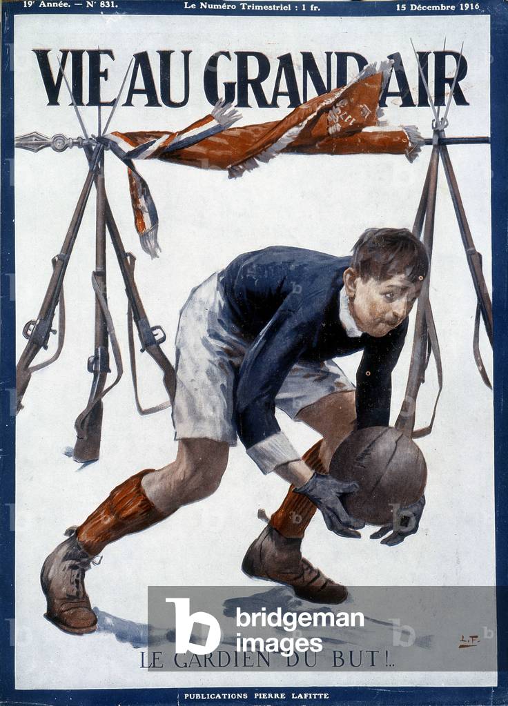
LSE4078033: Football goalkeeper in front of makeshift goals made with bayonets and a flag - in "La Vie au Grand Air" from 15/12/1916, Unknown Artist / Bridgeman Images

LSE4103289: Portrait in feet of Claude Galien (Klaudios Galenos or Claudio Galeno or Claudius Galenus or Galen, v. 131 - v. 201), Unknown Artist / Bridgeman Images

LSE4098355: Violin Stradivarius (Violin created by Italian luthier Antonio Stradivari) from 1679, Unknown Artist / Bridgeman Images

LSE4101437: Portrait of Blériot: Crossing Calais - Dover in July 1909, Unknown Artist / Bridgeman Images
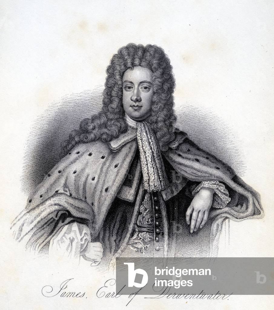
XJF954796: James Radclyffe, 3rd Earl of Derwentwater (1689-1716) (engraving), Unknown Artist / Bridgeman Images
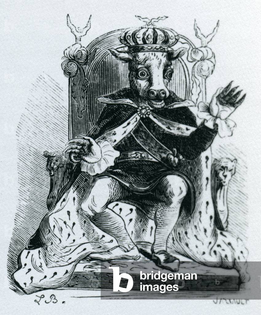
XJF909356: Moloch, illustration from the 'Dictionnaire Infernal' by Jacques Albin Simon Collin de Plancy, 1863 (engraving), Unknown Artist / Bridgeman Images

XND75262: Robinson Crusoe leaving his island, printed and sold by W. Belch (engraving), Unknown Artist / Bridgeman Images

XND70108: Roy I E IX f.132v Floriated initial illustrating banquet scene, Unknown Artist / Bridgeman Images
