Unknown Artist Assets (3858 in total)

Search options

Orientation
Colour

Display options

View

Print

To print search results, use print friendly version of this page.

Results

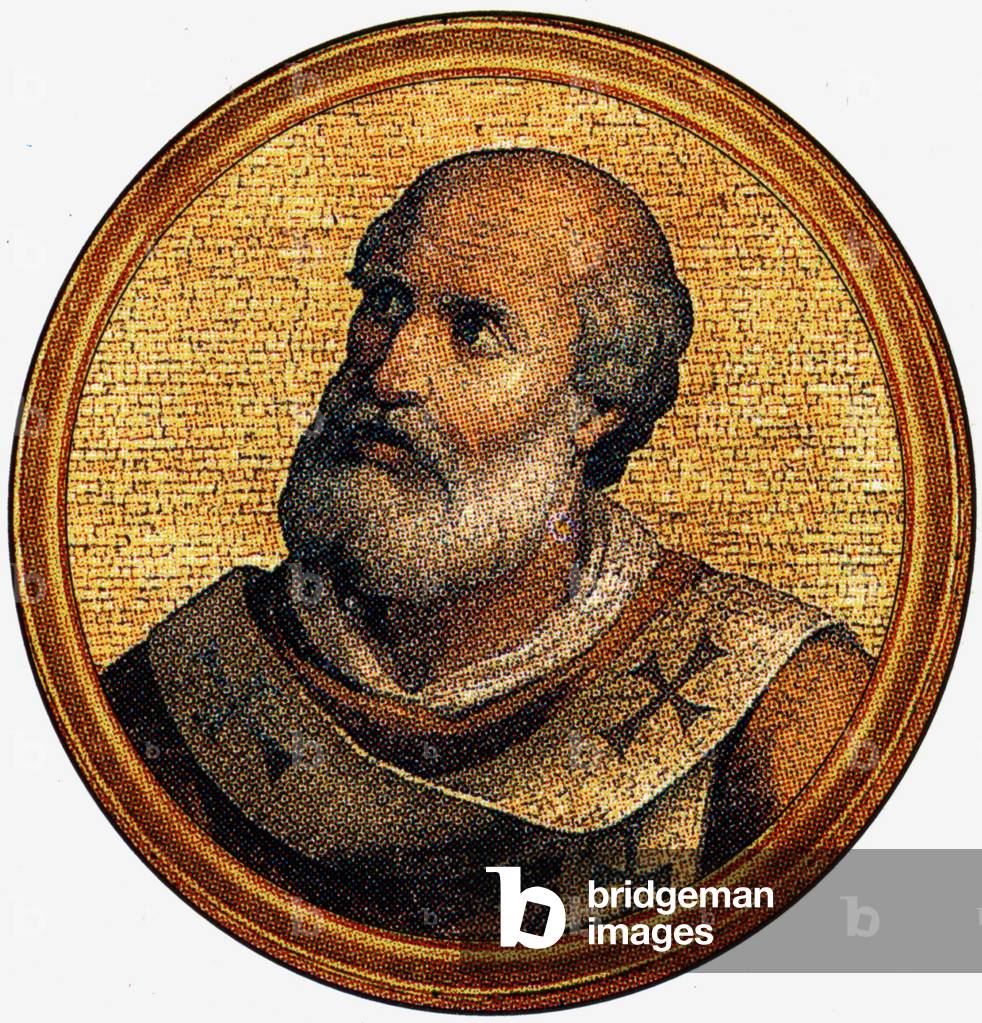
John VI, 85th Pope of the Catholic Church. It regained from 30 October 701 to 11 January 705, during the Byzantine Papaute

PVD1698794: John VI, 85th Pope of the Catholic Church. It regained from 30 October 701 to 11 January 705, during the Byzantine Papaute, Unknown Artist / Bridgeman Images

Gregoire III, was pope from 731 to 741 (print)

PVD1698893: Gregoire III, was pope from 731 to 741 (print), Unknown Artist / Bridgeman Images

John the Constent (engraving)

SZT2075928: John the Constent (engraving), Unknown Artist / Bridgeman Images

Richard Bancroft
Richard Bancroft

EVB2079566: Richard Bancroft, Unknown Artist / Bridgeman Images

Charles Pinckney
Charles Pinckney

EVB2079569: Charles Pinckney, Unknown Artist / Bridgeman Images

Christian VI of Denmark (engraving)

SZT2226192: Christian VI of Denmark (engraving), Unknown Artist / Bridgeman Images

coat of arms of the Parisian gardeners and maraichers under the Ancien Regime

GEG2727793: coat of arms of the Parisian gardeners and maraichers under the Ancien Regime, Unknown Artist / Bridgeman Images

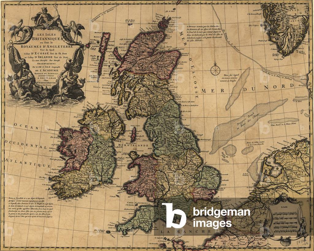
British Isles in early 18th century map showing internal divisions, all of which were united under United Kingdom government

EVB2931802: British Isles in early 18th century map showing internal divisions, all of which were united under United Kingdom government, Unknown Artist / Bridgeman Images

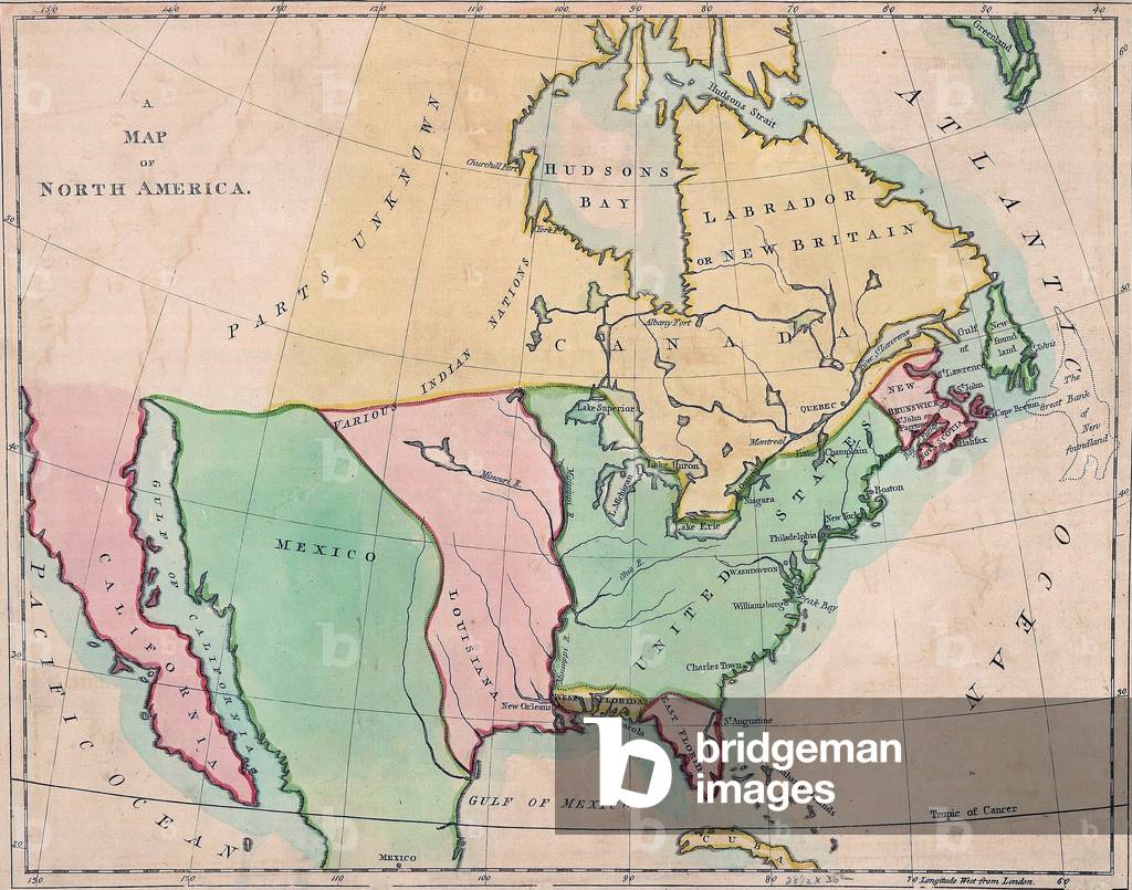
1803 map of North American showing the major divisions by European national possession

EVB2931817: 1803 map of North American showing the major divisions by European national possession, Unknown Artist / Bridgeman Images

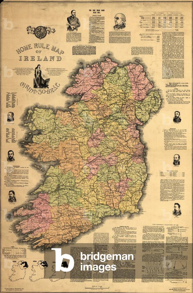
Map of Ireland supporting the 1893

EVB2931904: Map of Ireland supporting the 1893 "Home Rule" bill then under consideration by British Parliament. Map shows bill's sponsor, Gladstone, and Irish nationalist Charles Parnell. The bill was defeated, but finally passed in 1914 to gain peace with Ireland during World War 1, Unknown Artist / Bridgeman Images
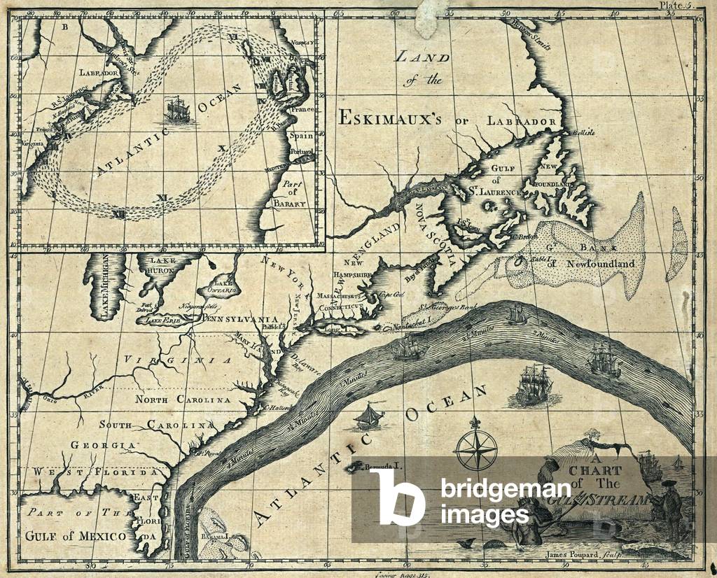
1786 chart of the Gulf Stream in the Atlantic Ocean

EVB2931913: 1786 chart of the Gulf Stream in the Atlantic Ocean, Unknown Artist / Bridgeman Images

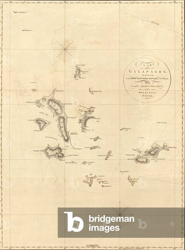
1798 map of the Galapagos islands in the Pacific Ocean

EVB2931940: 1798 map of the Galapagos islands in the Pacific Ocean, Unknown Artist / Bridgeman Images
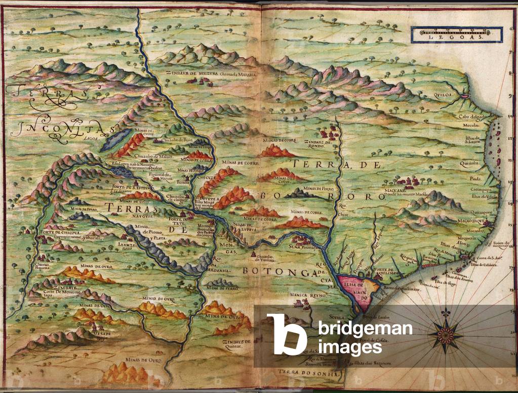
Portuguese maps showing detailed views of Zambezia (present day Mozambique )in Eastern Africa from a 1630 atlas

EVB2931943: Portuguese maps showing detailed views of Zambezia (present day Mozambique )in Eastern Africa from a 1630 atlas, Unknown Artist / Bridgeman Images

1606 map of Virginia as discovered and described by Captain John Smith. Map included image of Native American Chief Powhatan, father of Pocahontas holding court with attendants, and a figure of an Native man attired in fashioned skins with bow and arrow

EVB2931976: 1606 map of Virginia as discovered and described by Captain John Smith. Map included image of Native American Chief Powhatan, father of Pocahontas holding court with attendants, and a figure of an Native man attired in fashioned skins with bow and arrow, Unknown Artist / Bridgeman Images

Jesse and Frank James, Cole, John, and Bob Younger, robbed the Hot Springs Stage on January 15, 1874 (print)

EVB2937039: Jesse and Frank James, Cole, John, and Bob Younger, robbed the Hot Springs Stage on January 15, 1874 (print), Unknown Artist / Bridgeman Images

Ovomaltine Advertising

ELZ2710394: Ovomaltine Advertising, Unknown Artist / Bridgeman Images

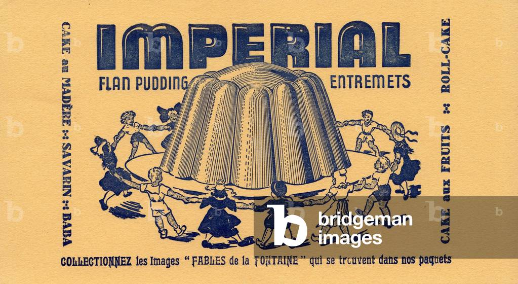
Buvard Flan imperial vers 1950

ELZ2552389: Buvard Flan imperial vers 1950, Unknown Artist / Bridgeman Images

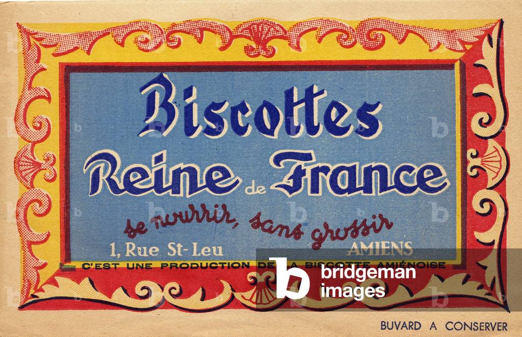
Buvard biscottes Reine de France vers 1950

ELZ2552390: Buvard biscottes Reine de France vers 1950, Unknown Artist / Bridgeman Images

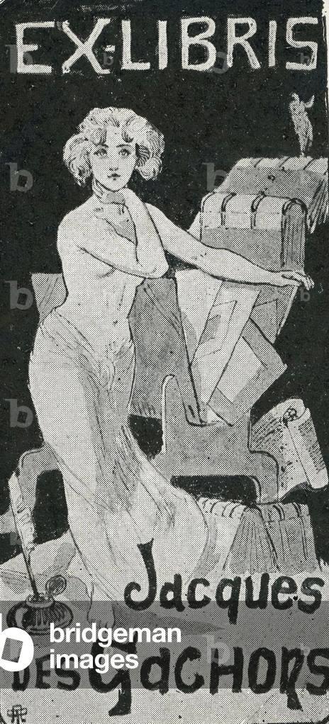
ex libris of Jacques des Gachons novelist and literary critic francais 1868 1945

GEG2729870: ex libris of Jacques des Gachons novelist and literary critic francais 1868 1945, Unknown Artist / Bridgeman Images

Ovomaltine Advertising

ELZ2710393: Ovomaltine Advertising, Unknown Artist / Bridgeman Images

Publicite Phoscao 1923

ELZ2710399: Publicite Phoscao 1923, Unknown Artist / Bridgeman Images

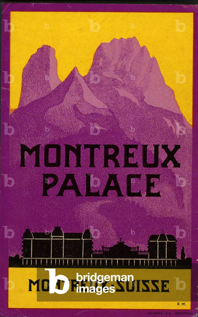
Etiquette hotel Montreux Palace Suisse

GEG2727544: Etiquette hotel Montreux Palace Suisse, Unknown Artist / Bridgeman Images

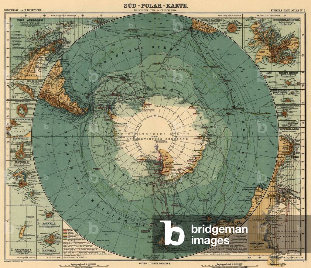
Map of Antarctica and surrounding ocean, and southern regions of South America and Afric. 1912

EVB2931812: Map of Antarctica and surrounding ocean, and southern regions of South America and Afric. 1912, Unknown Artist / Bridgeman Images

1803 Map of Egypt, with part of Arabia and Palestine

EVB2931830: 1803 Map of Egypt, with part of Arabia and Palestine, Unknown Artist / Bridgeman Images

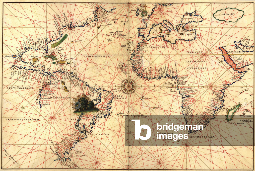
1544 nautical map of the Atlantic Ocean, showing eastern North Atlantic, Caribbean, South America, Africa, Europe

EVB2931854: 1544 nautical map of the Atlantic Ocean, showing eastern North Atlantic, Caribbean, South America, Africa, Europe, Unknown Artist / Bridgeman Images

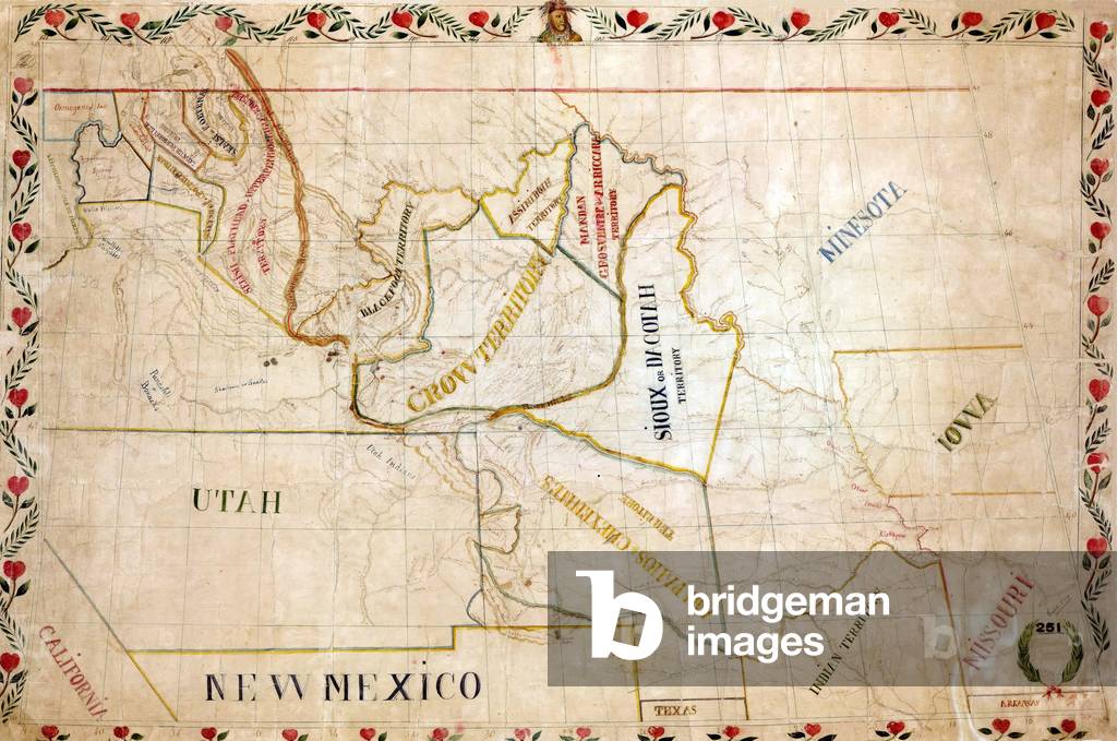
1851 map of the upper Great Plains and Rocky Mountains region shows territories of various North American Indian tribes

EVB2931869: 1851 map of the upper Great Plains and Rocky Mountains region shows territories of various North American Indian tribes, Unknown Artist / Bridgeman Images

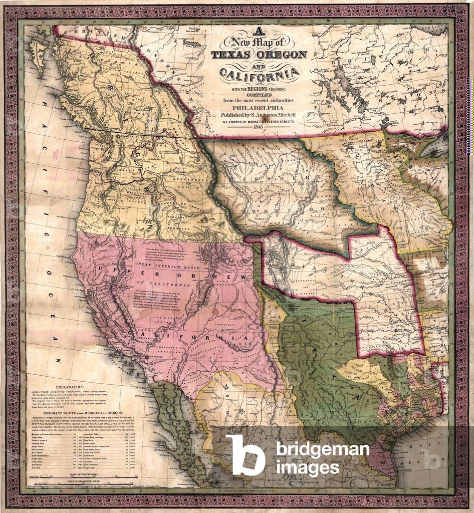
Western North America on the eve of the Mexican-American War (1846-48) which resulted in US annexation of over 500,000 square miles of Mexican territory

EVB2931878: Western North America on the eve of the Mexican-American War (1846-48) which resulted in US annexation of over 500,000 square miles of Mexican territory, Unknown Artist / Bridgeman Images

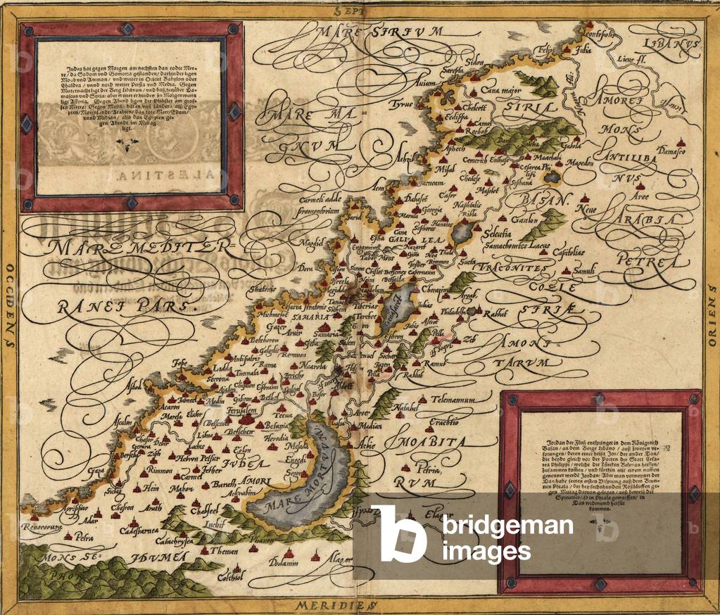
1588 map of Palestine by Sebastian Munster

EVB2931881: 1588 map of Palestine by Sebastian Munster, Unknown Artist / Bridgeman Images

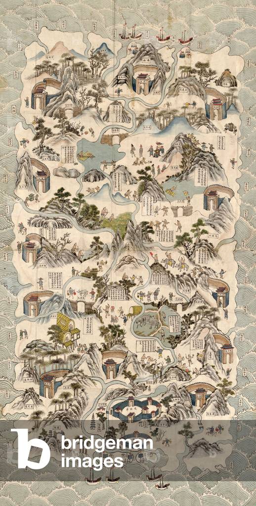
19th century Chinese pictorial map of the island of Hainan and shows the customs and habits of the Li tribes in the central part of the island

EVB2931893: 19th century Chinese pictorial map of the island of Hainan and shows the customs and habits of the Li tribes in the central part of the island, Unknown Artist / Bridgeman Images

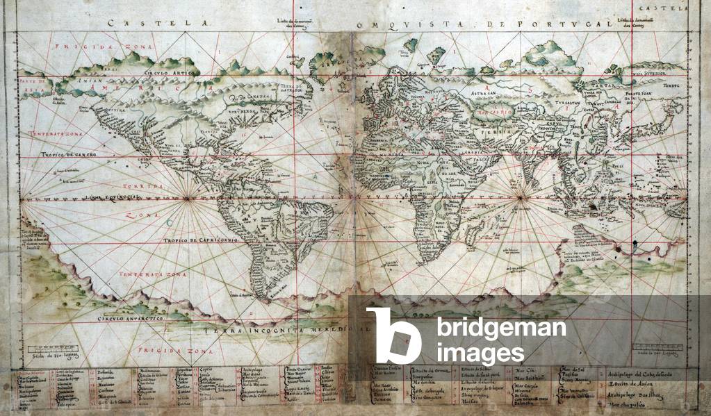
1630 Portuguese map of the world. Southern continents, Australia and Antarctica are depicted as one land mass

EVB2931899: 1630 Portuguese map of the world. Southern continents, Australia and Antarctica are depicted as one land mass, Unknown Artist / Bridgeman Images

1688 map of Peloponnesian Peninsula of southern Greece. Map borders contain engravings of fortified city views, part of the Ottoman Empire's defenses against the hostile Christian Mediterranean nations

EVB2931947: 1688 map of Peloponnesian Peninsula of southern Greece. Map borders contain engravings of fortified city views, part of the Ottoman Empire's defenses against the hostile Christian Mediterranean nations, Unknown Artist / Bridgeman Images

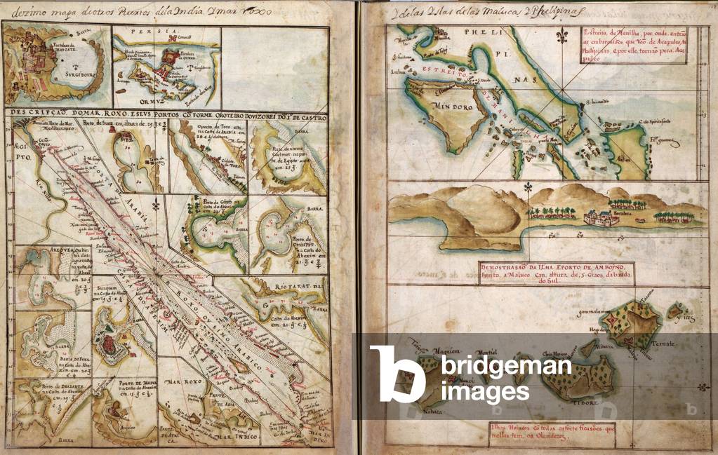
1630 Portuguese map of Asia, showing the coast in great detail gathered by a century of the Portuguese explorations in Asia

EVB2931968: 1630 Portuguese map of Asia, showing the coast in great detail gathered by a century of the Portuguese explorations in Asia, Unknown Artist / Bridgeman Images

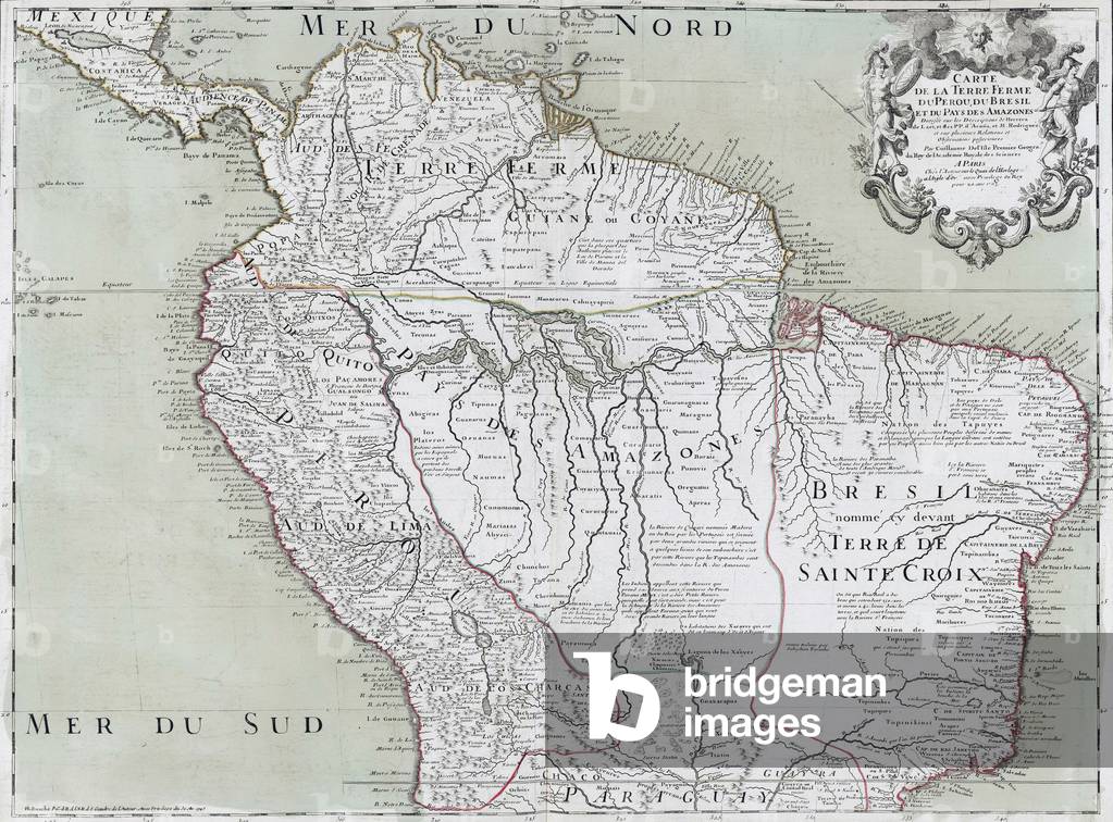
1745 map of northern South American continent, showing colonial place names for Brazil, Paraguay, Peru, Panama, Venezuela that would be nations following independence from Spain and Portugal

EVB2931977: 1745 map of northern South American continent, showing colonial place names for Brazil, Paraguay, Peru, Panama, Venezuela that would be nations following independence from Spain and Portugal, Unknown Artist / Bridgeman Images

Old photo of Munich (engraving)

SZT3001726: Old photo of Munich (engraving), Unknown Artist / Bridgeman Images
John Dryden portrait

XLA3750908: John Dryden portrait, Unknown Artist / Bridgeman Images

The ransom (painting)

PRZ3433492: The ransom (painting), Unknown Artist / Bridgeman Images


Back to top