2490880 Search Results
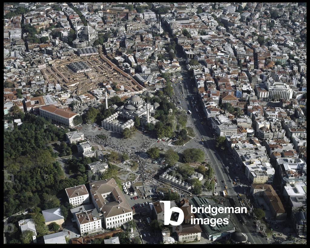
LRI4656901: Aerial view of the City, Bayezid Mosquee, Great Bazaar in the old part of the city. (Photography) / Bridgeman Images

PIX4656935: Cerro Paranal and Very Large Telescope (VLT) - Paranal observatory, Chile, 2007. - The Cerro Paranal Observatory in Chile has been hosting the European Very Large Telescope (VLT) network since 1998. The European Southern Observatory (ESO) here uses four telescopes measuring 8.2 m in diameter, as well as telescopes measuring 1.8 m to 4 m in diameter: it is the largest observatory in the world. Cerro Paranal is located at 2500 m above sea level, in the Atacama desert. Paranal observatory seen from Atacama desert, 2007. This european observatory accomodates the Very Large Telescope (VLT) since 1998. Four 8.2m telescopes are used besides several other telescopes from 1.8m to 4m. Cerro Paranal is 2500 meters in altitude / Bridgeman Images

JLJ4687415: The Removal Of Proserpine, 16th century (oil on canvas), Abate, Nicolo dell' (c.1512-71) / Bridgeman Images

LRI4657015: View of the base of reliefs of the Gate of the Sphinx, 14th century BC, Hittite / Bridgeman Images

PIX4657158: Moon and planets above the Paranal Observatory - Paranal Observatory, Venus - Mercury - Mars - Moon conjunction - The Moon with the Venus planets (the brightest at the bottom right of the Moon), Mercury (to the right of the Moon) and Mars (to the top right of the Moon), seen on 1 September 2008 at the Paranal Observatory in Chile. Moon - Venus - Mercury - Mars conjunction in twilight. Paranal Observatory, Chile. Sep 1st 2008 / Bridgeman Images

PIX4657167: Paranal Observatory - Chile - Paranal Observatory - Chile - The lactee road above the Paranal Observatory in Chile. The road leading to the observatory is equipped with solar energy lighting that preserves the night sky from light pollution. On the right, the light halo of the city of Antofagasta, 120 km from the. 1 September 2008. Milky way above Paranal observatory, Chile. Sep 1st 2008. The road to the observatory is lightened by solar powered leds to avoid light pollution. At right, light pollution from the city of Antofagasta, 120 km away / Bridgeman Images

LRI4687803: The Apotheosis of St. Sebastian, 1694 (Painting), Ricci, Sebastiano (1658-1734) / Bridgeman Images

LRI4657391: View of the Necropolis and the tombs belonging to Achaemenid kings, relief representing scenes of battle, Persian School / Bridgeman Images

CUB4831709: Carro dell'Immacolata procession, Torre del Greco, Campania, Italy / Bridgeman Images

CUB4831786: Frecce Tricolori national acrobatic patrol, Salerno, Campania, Italy / Bridgeman Images

CUB4832015: Medieval fortress, Montemiletto, Campania, Italy / Bridgeman Images

ELD4832043: The Dutch spy and dancer Mata Hari posing holding a fur hat in her hand, 1917, Unknown photographer, (20th century) / Bridgeman Images

CUB4832077: Particular of the obelisk called Carro, Mirabella Eclano, Campania, Italy / Bridgeman Images

CUB4832248: Cityscape, Cassano Irpino, Campania, Italy / Bridgeman Images

CUB4832488: Luogosano, Irpinia, Campania, Italy / Bridgeman Images

CUB4832592: Putti fountain, Gesualdo, Irpinia, Campania, Italy / Bridgeman Images
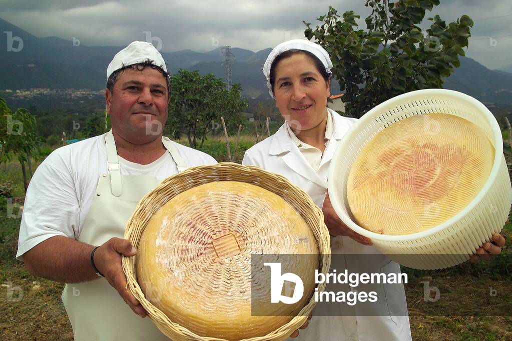
CUB4832862: Pecorino Bagnolese cheese, Nigro cheese maker, Bagnoli Irpino, Campania, Italy / Bridgeman Images

LRI4681921: Statue of Pharaoh Ramses II near a deity. (sculpture), Egyptian 19th Dynasty (c.1292-1187 BC) / Bridgeman Images
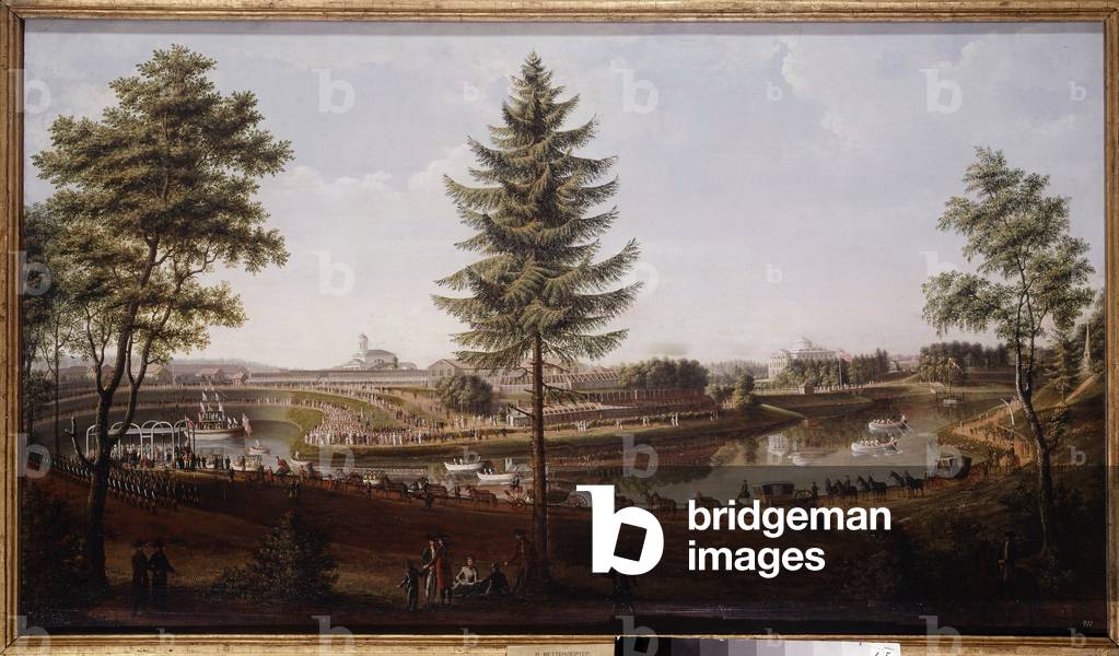
JLJ4681952: Feast at Pavlovsk Palace, summer residence of Tsar Paul I Painting of Metterleir (1750-1825) 1790 (oil on canvas), Mettenleiter, Johann Jakob (1750-1825) / Bridgeman Images

LRI4681969: Detail of the emblems of the territories conquered by Pharaoh Ramses II (relief), Egyptian 19th Dynasty (c.1292-1187 BC) / Bridgeman Images

JLJ4682121: The Queen of Egypt Cleopatre (79-30 BC) meets her future lover Marc Antoine (83-30 BC), 17th century (oil on canvas), Bourdon, Sebastien (1616-71) / Bridgeman Images

LRI4682206: View of the Ramesseum (photography), Egyptian 19th Dynasty (c.1292-1187 BC) / Bridgeman Images
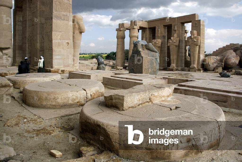
LRI4682292: Eastern colonnade of the Ramasseum (photography), Egyptian 19th Dynasty (c.1292-1187 BC) / Bridgeman Images

LRI4682325: Ramses II crown and blessed by the divinite of Seshat (relief), Egyptian 19th Dynasty (c.1292-1187 BC) / Bridgeman Images

LUX4734695: First World War: France, Postcard showing a mother and her two children thinking of the father soldier entitled “Homeland family””, 1916 / Bridgeman Images
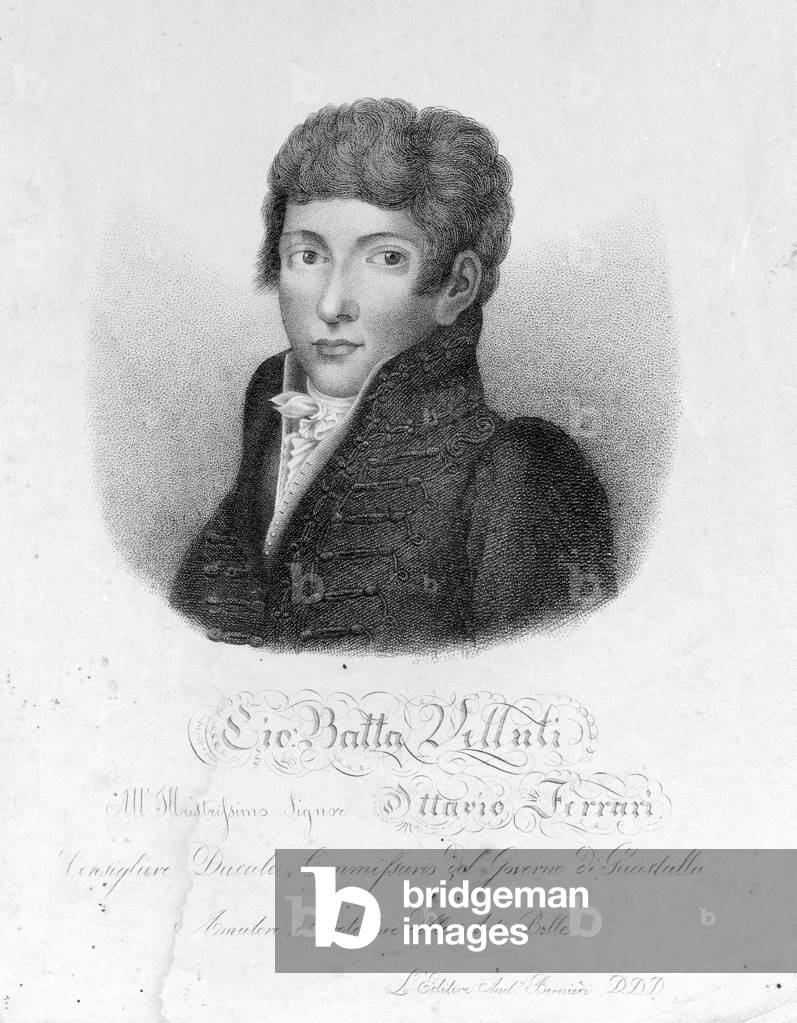
GIA4734785: Giovanni Battista Velluti (1781-1861), last opera castrate., Unknown Artist, (19th century) / Bridgeman Images

LUX4734869: First World War: France, Postcard showing a little boy praying for his father entitled “” prayer for the absent””, 1915 / Bridgeman Images

LRI4734998: Food still life: plate of spaghetti with tuna (photography) / Bridgeman Images

GIA4735025: General view of the Royal Tobacco Factory., Unknown Artist, (19th century) / Bridgeman Images

GIA4735184: Romulus Augustule, in Latin Flavius Romulus Augustus (or Romulus Augustulus (in it). Romolo Augustolo), around 460 - 511), the last Roman emperor of the west. Portrait on a coin, 5th century, Roman / Bridgeman Images

LRI4735305: Food still life: plate of italian ravioli with vegetarian stuffing (photography) / Bridgeman Images
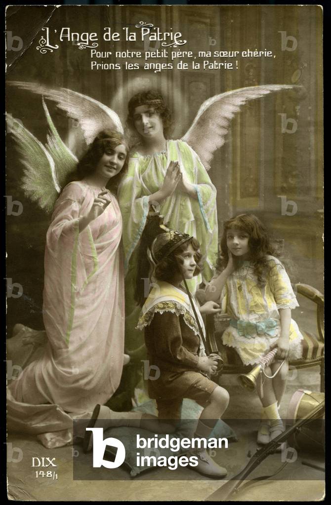
LUX4735465: First World War: France, Postcard of a studio photograph showing two angels watching over children playing war titled “The Angel of the Fatherland””, 1915, For our little father, my dear sister, let's pray the angels of the Fatherland / Bridgeman Images

CUB4833191: Valley of Ofanto river near Cairo, Irpinia, Campania, Italy / Bridgeman Images
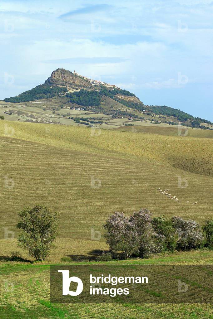
CUB4833236: Valley of Ofanto river near Cairo, Irpinia, Campania, Italy / Bridgeman Images

ELD4833555: Tartuffe, or The Imposter, 1896 (engraving) / Bridgeman Images

ELD4833733: The School for Wives, 1896 (engraving) / Bridgeman Images
